Research project provides ‘an experience that you can’t just manufacture on your own’
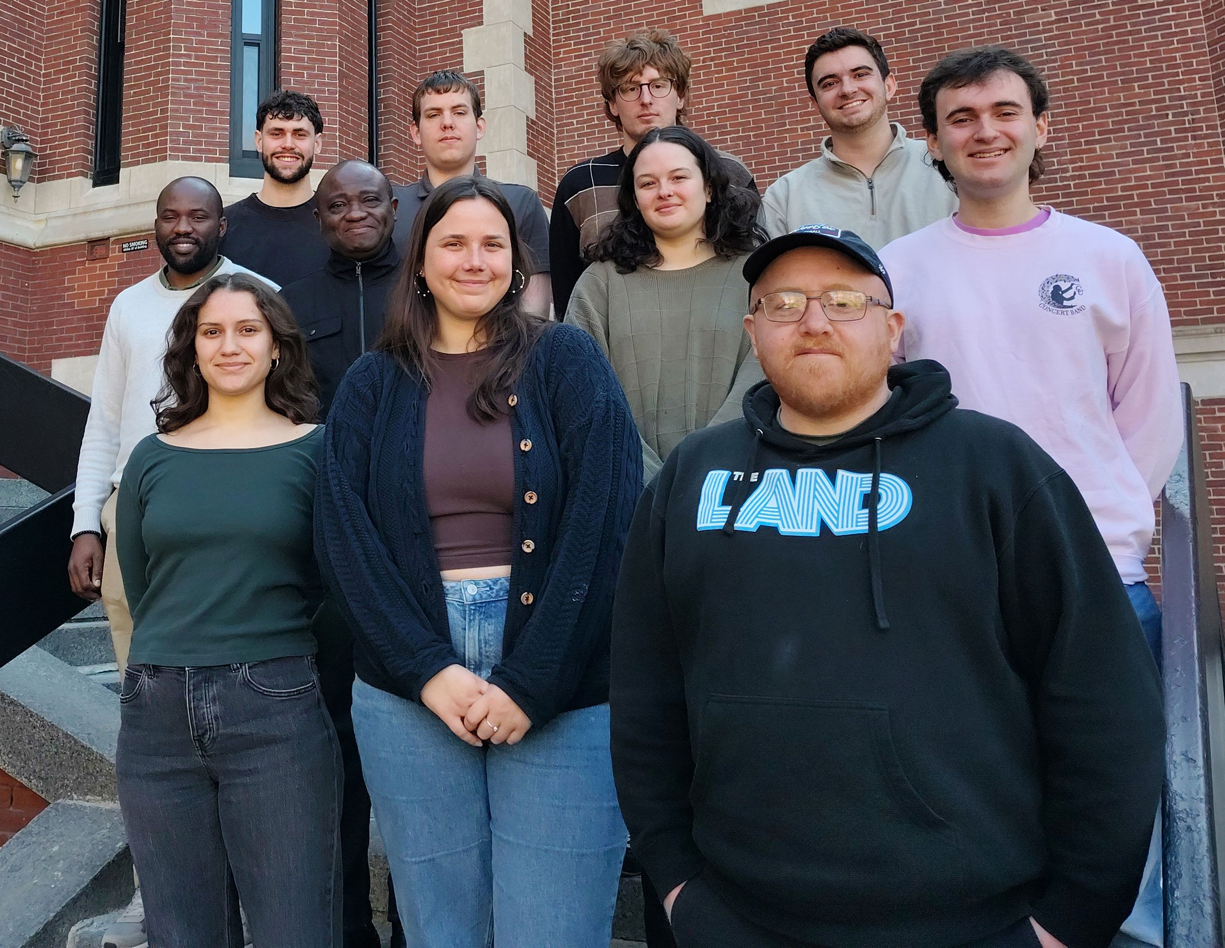
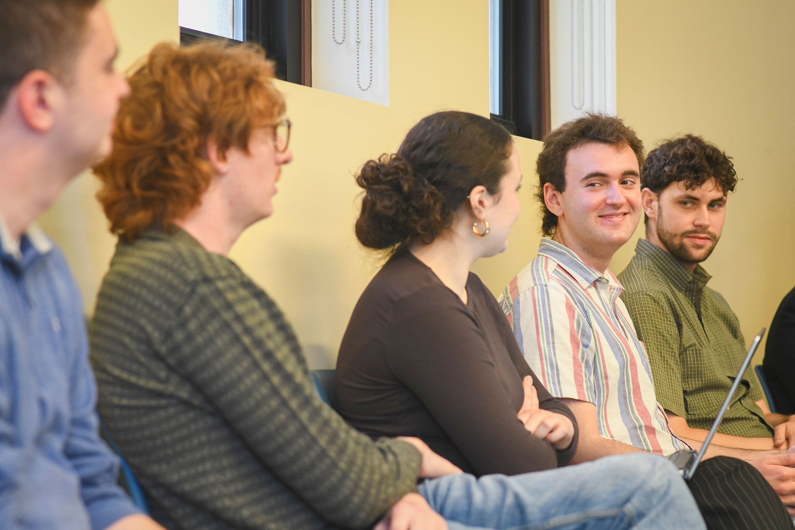
Through a research seminar offered by Clark’s School of Climate, Environment, and Society, 13 undergraduate and graduate students beefed up their LinkedIn profiles this spring by adding one more experience: GIS consultant for the Wildlife Conservation Society (WCS), a global nonprofit.
They followed in the footsteps of previous cohorts of the Wildlife Conservation GIS Research Seminar, which operates as the Clark Consulting team. Geography professors Florencia Sangermano and John Rogan lead the seminar each spring.
Over the past 14 years, students in the class — many of them graduating from Clark’s 4+1 Accelerated Master’s Degree program in GIS or environmental science and policy — have landed jobs at companies and organizations that develop and deploy geographic information system (GIS) technology. Their employers range from GIS and mapping software companies, like global market leader Esri, to utilities, city planning offices, parks, universities and research groups, and environmental nonprofits.
A member of last year’s seminar, Wynnie Gross ’24, M.S.-GIS ’25, now works as a solution engineer on Esri’s national government team in Washington, D.C. When searching for jobs last spring, she shared with employers a comprehensive dashboard she and her peers had built for the WCS using ArcGIS, a geospatial platform developed by Esri. The dashboard indicates how humans, fires, and even nighttime lights have affected WCS-managed areas in the Amazon and elsewhere in Latin America over various time periods.
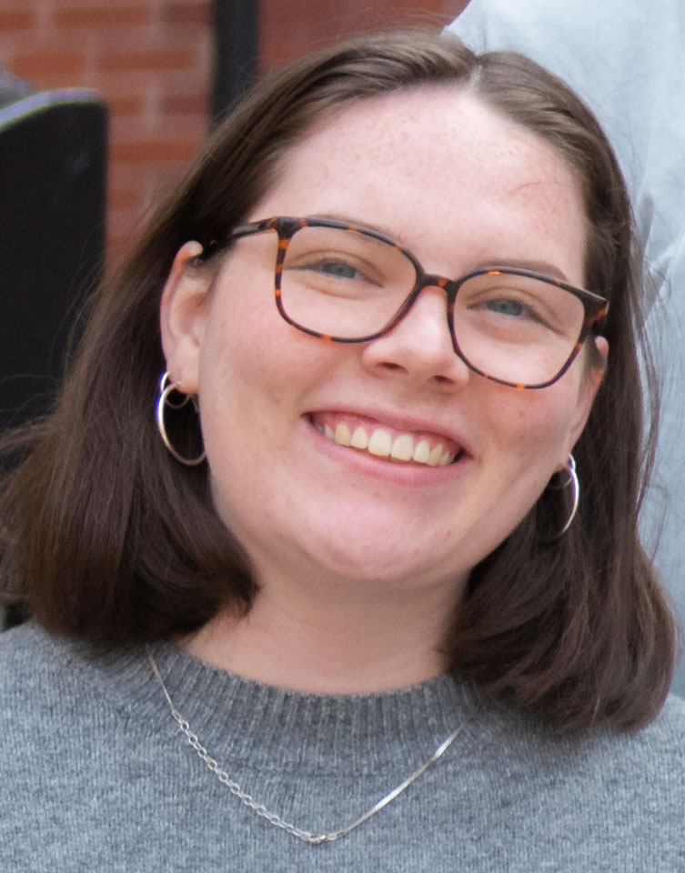
“It’s awesome to point to something that I worked on from the ground up,” Gross said. “I can link to it on my resume, and employers can see the work that I did. That’s very valuable in today’s ultra-competitive job market.
“Technology, and in particular geospatial technology, is moving so fast. Being able to showcase how we did a traditional GIS analysis, but also built an application on top of that, helped distinguish me from other applicants.”
This year, the Clark Consulting team updated and enhanced the dashboard, which Rogan said future cohorts will continue to maintain. WCS staff access the tool to analyze environmental trends and conservation impacts across the sites they manage in Central and South America.
“Building the dashboard helped me understand how you take geospatial data and make it actionable.”
— Wynnie Gross ’24, M.S.-GIS ’25
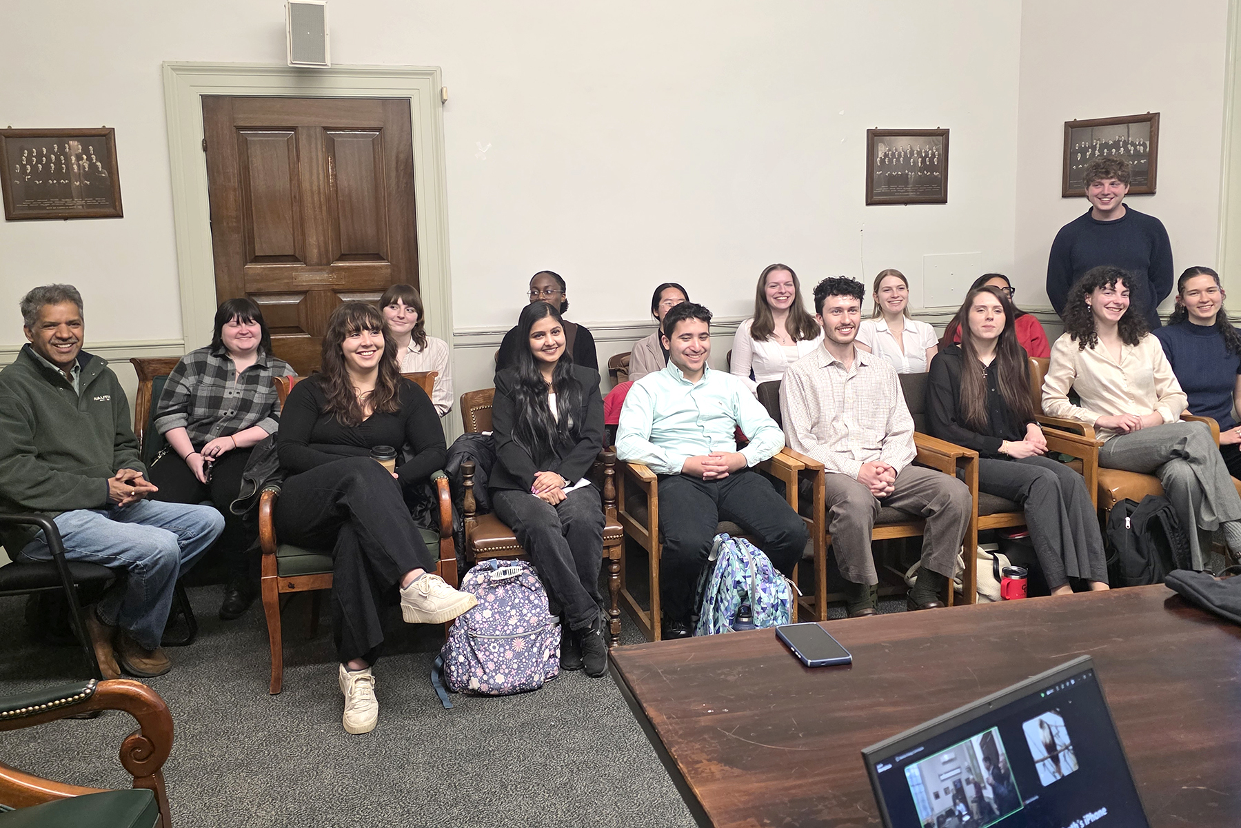
The students presented their findings to WCS staff from around the world in a Zoom call in May.
Aaron Richmond-Crosset ’25, M.S.-GIS ’26, outlined projections on changing climate patterns. Under a worst-case scenario, he said, significant warming could occur by 2050, with the emergence of “two new climate types — hyperthermal, which is hotter than tropical, and boreal, which is between cool and polar temperatures.” The WCS strongholds expected to be most affected are the Gran Chaco of central South America, the Central Andes of Colombia, and the Maya Forest in the Yucatán Peninsula, according to Richmond-Crosset.
Students also expanded Clark Consulting’s work to develop a “counterfactual” matching framework to analyze the effectiveness of WCS nature strongholds, which include managed, protected land such as national parks, reserves, and Indigenous territories. Using Bolivia as a case study, they integrated map-based indicators that track changes in forest conditions, biodiversity intactness, and ecosystem integrity. They also compared the WCS areas to those that are unprotected, finding that the managed areas are “highly intact.”
This area-to-area matching framework can be reproduced and scaled to other areas to provide a “clearer understanding of local trends and impacts of WCS intervention,” the students told the WCS staff.
“That’s important in consultancy to say, ‘Look, you asked for A, but we can’t get you A — B is the best thing you can get.’ ”
— jonathan palmer, Wildlife Conservation society
To update the dashboard, the class reached out to Gross for support. “Now that I work at Esri, I configure dashboards constantly, and I’ve picked up some tips and tricks from being closer to the people who build the tech,” she said, “So, with the 2026 cohort, I gave them access to all the underlying data that I had. Then I guided them on how to go about brainstorming the design of a dashboard, thinking about who will be using it and how they’d use it day-to-day. I also helped answer general questions and was there as a resource when they got into technical roadblocks.”
The students also ran into technical challenges when integrating the WCS’ original counterfactual methodology and had to adjust the project’s scope. Jonathan Palmer, executive director of conservation technology for the WCS, praised their ability to pivot quickly to a workable solution.
“That’s important in consultancy to say, ‘Look, you asked for A, but we can’t get you A — B is the best thing you can get,’ ” Palmer told the students.
He suggested that the Clark Consulting team spell out any limitations in their newly developed methodology.
“What WCS is looking to do with engagements like this is to get tighter and tighter alignment,” he said, “something that is valuable both for you as students, giving you a research and consultancy experience, but also something that is valuable to us.”
Also attending the students’ presentation was Lou Leonard, D.J.A. Spencer Dean of the School of Climate, Environment, and Society. He recalled how he started his first official day at Clark last year by attending the 2025 cohort’s presentation.
“It gave me the sense that I made the right decision. I came to the right place. This is a place that’s doing work where students are crossing over into applied work that matters,” Leonard said. “The power of projects like this is that they build on each other and aren’t just one-offs. What you’re doing and what your colleagues have done in past years is to build toward something even bigger.”
“It was a super helpful to gain a real-world understanding of working on a longer project timeline with different objectives and collaborating with a team of people.”
— Elise Beier ’25, M.S.-ES&P ’26
Like Gross, students found the Clark Consulting experience invaluable.
“For those of us pursuing research, it can be really easy — but also really defeating — to pour your time and energy and passion into a project that never actually breaks outside of academia,” said Aidan Caron, a Ph.D. student in geography. “Having an opportunity to work on something that generates tangible real-world impact is an experience that you can’t just manufacture on your own.”
Pacifique Madibi, M.S.-GIS ’26, already has worked for seven years at WCS. The organization provided a scholarship for him to attend Clark, where he’s gained new perspectives. “It was really interesting for us, as students, to be exposed to this kind of experience in terms of deadlines, delivery, and quality for an organization like WCS,” Madibi, said.
For Rowan Compton ’25, M.S.-GIS ’26, the seminar capped off his five years at Clark, where he received a Steinbrecher Fellowship to conduct GIS research in Brazil and contributed to a faculty-led National Science Foundation-funded project.
“It’s not very often that you work in a group of 13 people. I think that’s much more like what it would be in the real world,” Compton said. “This class brings together all aspects of GIS that I’ve done at Clark. It’s a compilation of everything that makes Clark’s geography program great.”
Gross, meanwhile, said she puts her WCS experience to work daily, supporting federal health and science agencies such as NOAA, Health and Human Services, and Housing and Urban Development in their use of Esri tools and workflows.
“I’m helping large federal organizations make sense of their existing datasets and make them useful. Instead of doing one-off research projects, a lot of federal organizations are implementing large-scale mapping programs where they’re tracking different metrics and then using that information to allocate resources accordingly,” she said. “That’s essentially what we did for WCS, so in that way, building the dashboard helped me understand how you take geospatial data and make it actionable.”