‘It was the most unique thing I’ve done at Clark in the GIS realm’
Elephants in Tanzania, walruses in the Arctic, bison in Montana, and bears in the New York Adirondacks: These animals and their habitats have benefited from research by graduate students in Clark University’s Wildlife Conservation GIS Research Seminar over the past 13 years.
Each spring, a cohort has tackled a vexing biodiversity project for the Wildlife Conservation Society (WCS), a global nonprofit organization. Under the guidance of geography professors John Rogan and Florencia Sangermano, students, who operate as Clark GIS Consulting, have applied their geospatial skills, relying on high-resolution satellite images and other remote-sensing technologies, along with scientific data sets.
The eight students in this year’s course perhaps faced the biggest challenge yet. For the first time, the WCS didn’t assign a project on a particular area or species. Instead, the organization turned over all its global data to the students, with no specific direction except to focus on “trends in various metrics related to environment impacts in WCS-managed units across the world,” Rogan says.
“That was the nature of it. They said, ‘Do whatever you want, and whatever you think is interesting. Here’s some data,’ ” said Caleb Kluchman ’24, M.S.-GIS ’25.
“It was useful to do a project that was different from the more traditional GIS projects that we’ve done in the past, where we had one specific study area and one specific kind of ecological context,” said Wynnie Gross ’24, M.S.-GIS ’25. “It was useful to zoom out and do work that, in a way, almost felt more real.”
After sifting through data from the 1,769 land “units” managed by the WCS across the world, the students zeroed in on 645 areas in 14 countries in Central and South America, with most of the land in Bolivia, Brazil, Paraguay, Colombia, Argentina, and Peru.
“We picked South America because we knew there was a lot of environmental variability, a lot of different biogeographical dynamics and ecosystems,” said Andrew Niehaus ’23, M.S.-GIS ’25. “We knew that it is ecologically important and relevant for conservation management, with places like the Amazon rainforest.”
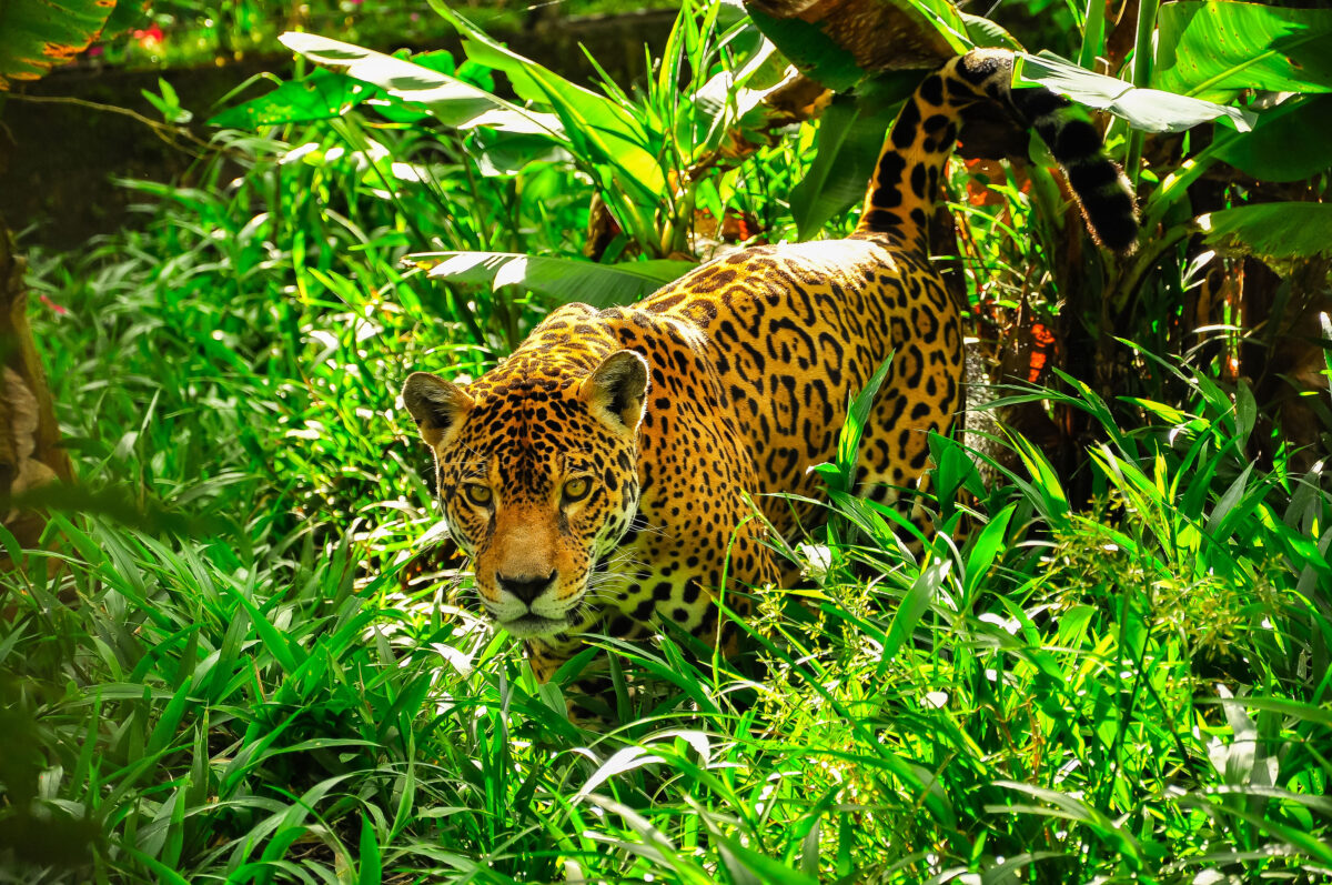
Containing 10 percent of the Earth’s known species, the Amazon River basin is home to “an astounding array of globally significant wildlife, including iconic species like the jaguar (pictured above), caiman, pink river dolphin, manatee, giant river otter and Amazonian river turtle,” according to the WCS. Twenty million people live there.
“Being able to produce different deliverables other than just an academic paper was really fun, and a great thing to put on a resume. It was the most unique thing I’ve done at Clark in the GIS realm.”
— wynnie gross ’24, M.S.-GIS ’25
The GIS students integrated satellite and other data to indicate how humans, fire, and even nighttime lights have affected WCS-managed areas in the Amazon and elsewhere in Latin America over various time periods. They also incorporated data on temperature and precipitation when mapping changes in forest and other land cover.
Using these findings, Gross built a digital dashboard that WCS employees can access to identify trends, get a clearer picture of whether their conservation efforts are working, and adjust their practices as needed. She was guided by Kas Green ’21, M.S.-GIS ’22, who has built dashboards for the global geospatial company Esri using its ArcGIS platform.
“Being able to produce different deliverables other than just an academic paper was really fun, and a great thing to put on a resume,” Gross said. “It was the most unique thing I’ve done at Clark in the GIS realm.”
The students worked remotely with Wenddy Acahuana and Omar Torrico, WCS employees based in Bolivia, and tapped into the GIS expertise of Rogan, Sangermano, and fellow geography Professor Abby Frazier; and geography Ph.D. students Mikayla Schappert and Antonio Fonseca.
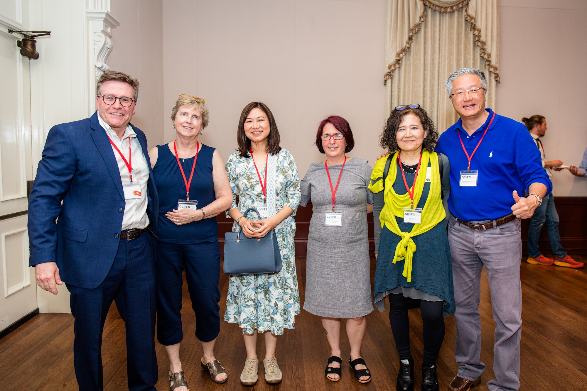
They presented their findings on May 1 to an audience that included Jonathan Palmer, executive director of conservation technology for the WCS, and Lou Leonard, Clark’s inaugural D.J.A. Spencer Dean of the School of Climate, Environment, and Society.
“I’m really impressed with what you’ve delivered,” Palmer said. “I’m looking forward to sharing this dashboard with the regional team and our conservation planning team.”
“ Today is my first day at Clark, so thank you for making my first day start off in an inspiring way,” said Leonard, who worked in leadership positions with the World Wildlife Fund for over a decade. “Your work product is impressive. Integrating the different slices of data into this dynamic dashboard could make your analysis really useful for folks on the ground.”
The WCS partners with governments, Indigenous groups, and other organizations across the world to help protect what it calls “nature’s strongholds,” which “not only contain much of the world’s biodiversity, but inherently store vast amounts of carbon [and] are more resilient to climate change.” This protection also reduces the likelihood of diseases passed between animals and humans, and provides various health benefits locally and globally, according to WCS.
The management of these strongholds is highly complex, with overlapping governance by federal and regional government agencies; for- and non-profit organizations such as the WCS; and Indigenous people.
The students’ project revealed that “WCS management units and larger strongholds experience minimal degradation over time, despite the fact that there is well-documented and widespread landscape change within the study region,” Gross concluded. “We believe this indicates effective conservation planning in Central and South America by WCS.”
Among the students’ findings:
- Larger land units managed by the WCS have experienced less degradation. The students focused on two case studies: Kaa-Iya del Gran Chaco National Park and Integrated Management Natural Area, the biggest national park in Bolivia and one of the largest in South America; and RNSC los Clavellinos (RNSC for Reserva Natural de la Sociedad Civil, or Civil Society Nature Reserve) in Colombia. They found that Gran Chaco, which has more land than Los Clavellinos — 45,000-square kilometers vs. 13-square — saw fewer human impacts than the latter.
- Land cover within the management units overall remains 90 percent unchanged.
- Less than 50 percent of the management units are experiencing human-made fire, indicating fewer human impacts on the land.
- Despite increasing temperatures, the landscape in the management units has remained fairly intact, indicating that WCS’ efforts have been successful.
However, pockets of land degradation remain. In the Gran Chaco, deforestation is occurring mostly in the west due to timber production and in the east — “our primary area of concern” — because of agricultural burning, according to Ben Spencer ’23, M.S.-ES&P ’25. “Stronger conservation efforts may be enacted in this management unit to combat the increase of fire activity,” he said.
Los Clavellinos has seen various human impacts, especially fire — most likely due to agricultural practices — with 75 percent, the highest percentage of the land burned, in 2013, Spencer said. “We think this is a management unit that WCS should keep an eye on, because uncontrolled fires, combined with climate change, could lead to more intense burning,” he concluded, “and, because it’s such a small area, devastation.”
Changing temperatures have implications for ecosystems, wildlife, and even the spread of viruses, according to Kluchman.
“The main takeaway is that nearly all management units have experienced significant increases in temperature,” he said. On average, the WCS-managed units have seen an increase in temperature of 0.3 degrees Celsius every 10 years. “This is higher than the reported global rate of warming of 0.2 degrees Celsius per decade.”
Rogan reminded students to use the project in their upcoming job interviews. “You’re often asked a question, ‘Can you tell me an example of a project you are involved in, one where you started from scratch and developed it?’ And everyone here can say, ‘Well, let me tell you about how we started from zero and went all the way to building a dashboard.’ ”