-
Newsletters
Clark Center for Geospatial Analytics (Clark CGA) releases two to three newsletters per year.
-
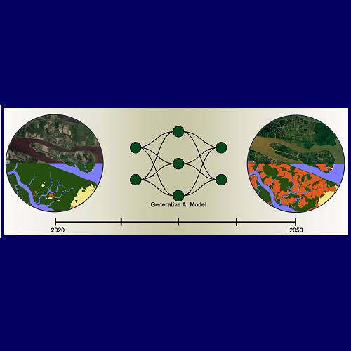
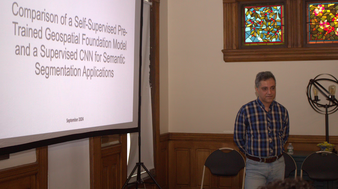
Land Cover Change Modeling using GenAI (Collaboration with WashU)
This project leverages generative AI models to project future land cover changes using historical satellite imagery and land cover maps. By exploring three novel AI modeling approaches, we aim to enhance the accuracy in predicting environmental transformations. The project addresses critical geospatial challenges by supporting sustainable land-use planning and climate resilience strategies. Anticipated outcomes include…
-
Reports
Reports document key projects and provide an in-depth look at the applications and impacts of our tools, bridging the gap between theory and practice in geospatial science.
-
Conference Presentations
Our conference presentations feature cutting-edge insights shared at major industry and academic events. From keynote addresses to workshop sessions, these resources reflect the evolving landscape of geospatial analytics. Presentations:
-

Peer-reviewed Papers
Peer-reviewed articles represent the forefront of academic and applied research. These publications, vetted by experts, highlight the scientific foundations and advanced applications of our geospatial tools and technologies: Journal Papers: Pre-Prints on arXiv: Conference Papers:
-
White Papers
Our white papers provide detailed methodologies, and applications in geospatial analytics. Designed for professionals and researchers, these documents offer actionable insights and practical solutions to complex challenges.
-
IDRISI Selva Service Update to 17.2
Summary The IDRISI Selva Service Update to v17.02 includes a fix to Land Change Modeler. In some cases during the change prediction phase using multiple stages and dynamic driver variables, the quantity of change may be incorrect. This issue has been resolved. Version 17.01 Update Details Land Change Modeler Perhaps the most substantial revision of…
-
TerrSet 2020 Service Update
Version 19.0.8 Update Details LANDSAT resolves issue using flag value with mulitply. Run Macro new error checking for parameter variables. WINDOW resolves issues running many simultaneous operations. Digitize new features to the update mode, see the Help for more details. FUZZY now recognizes background values to exclude. RECLASS now recognizes background value using Equal Interval option, and a new Geometric Interval…
-
TerrSet Service Update to 18.31
TerrSet 18.31 was the latest version of TerrSet and includes the following revisions. Version 18.31 Update Details Revisions were made to the following modules Flow, Correlate, GeoTiff, NetCDF, PntGen Version 18.3 Update Details Sentinel 2 import utility, new utility, that automatically imports and converts ESA Sentinel 2 bands to radiance or reflectance values. Landsat import revised to…
-
Clark Labs’ Modified Version of Gstat
Geostatistical capabilities available in TerrSet use the Gstat software package accessed through TerrSet interfaces. Gstat is a program for geostatistical modeling, prediction and simulation (Copyright 1992, 1998 by Edzer J. Pebesma). The Gstat program is free software and can be redistributed and/or modified under the terms of the GNU General Public License as published by…
Clark University
Hours of operation
Mon-Fri, 9 a.m. – 5 p.m.

Contact information
Center for Geospatial Analytics
Be a force for change.
Find out more about graduate education at Clark.
Invest in the next generation of Clarkies.