GIS
-
Clark Labs forecasts how land use will change across the globe by 2050
Mapping study will help support conservation practices
-
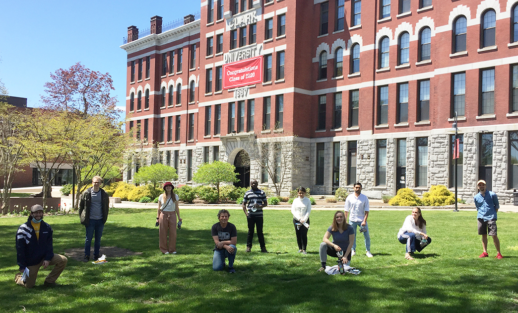
GIS students research mitigating ‘urban heat island effect’ in Mass. towns
Projects identify tree-planting locations in Southbridge and Ware
-

Study shows ‘unprecedented’ worldwide urban expansion from 1985 to 2015
Clark geographer Lyndon Estes co-authors paper in Nature Sustainability journal
-
Clark geographer Lyndon Estes takes on the issue of food security
Research team examines impact of drought and climate on urban populations
-
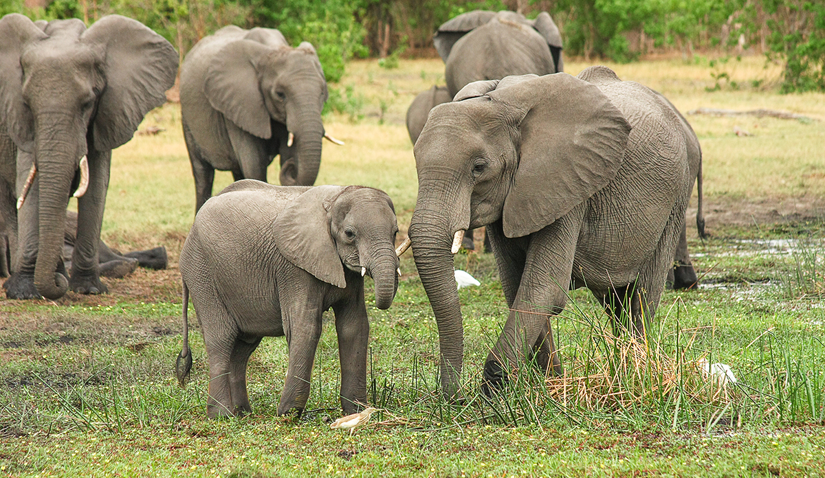
Clark students use satellite technology to protect the planet’s creatures, starting with the mightiest
Clark students’ esearch helps the Wildlife Conservation Society save the dwindling elephant population
-
Kasyan Green ’21 maps Worcester’s open spaces, and his future
Internship involved using GIS technology for land preservation
-
Clark alumna demonstrates how GIS aids humanitarian responses to war and disaster
Remote imaging deployed in Syria, Sudan, and Nigeria
-
Yeannet Ruiz ’19 finds the perfect storm for her geography skills
Clark student hopes to work in hurricane-damaged Houston
-
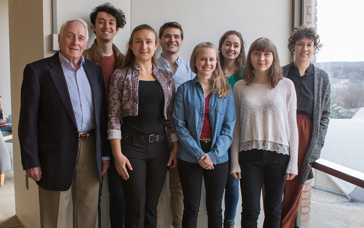
Undergraduates receive Steinbrecher Fellowships to pursue creative research projects for 2019-20 academic year
Topics range from defining DNA modifications to studying the evolution of folk music traditions
-
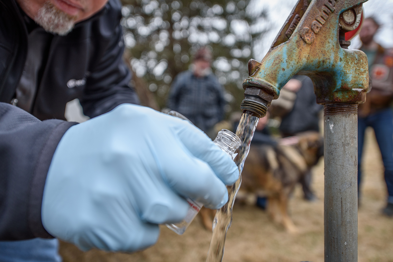
Troubled waters: Children’s health issues prompt Holliston mothers to tap into Clark’s research expertise
Community wants to know if exposure to chemicals led to neurodevelopmental cognitive deficits, behavioral disorders