-
Developing and Scaling Up the Mapping Africa Active Learning Platform
This need for both growth and reform of agriculture is particularly urgent in Sub-Saharan Africa (SSA), where populations are expected to double and economies quintuple by 2050, leading to a tripling of food demand. Existing agricultural maps for SSA fail to quantify even the most basic agricultural characteristics (where and how much cropland there is),…
-
Impacts of Agricultural Decision Making and Adaptive Management on Food Security
Despite significant attention from governments, donor agencies, and NGOs, food security remains an unresolved challenge in the context of global human welfare. Both technical and conceptual limits have prevented the collection and analysis of rich empirical datasets with high temporal frequency over large spatial extents necessary to investigate how changes to seasonal precipitation patterns are…
-
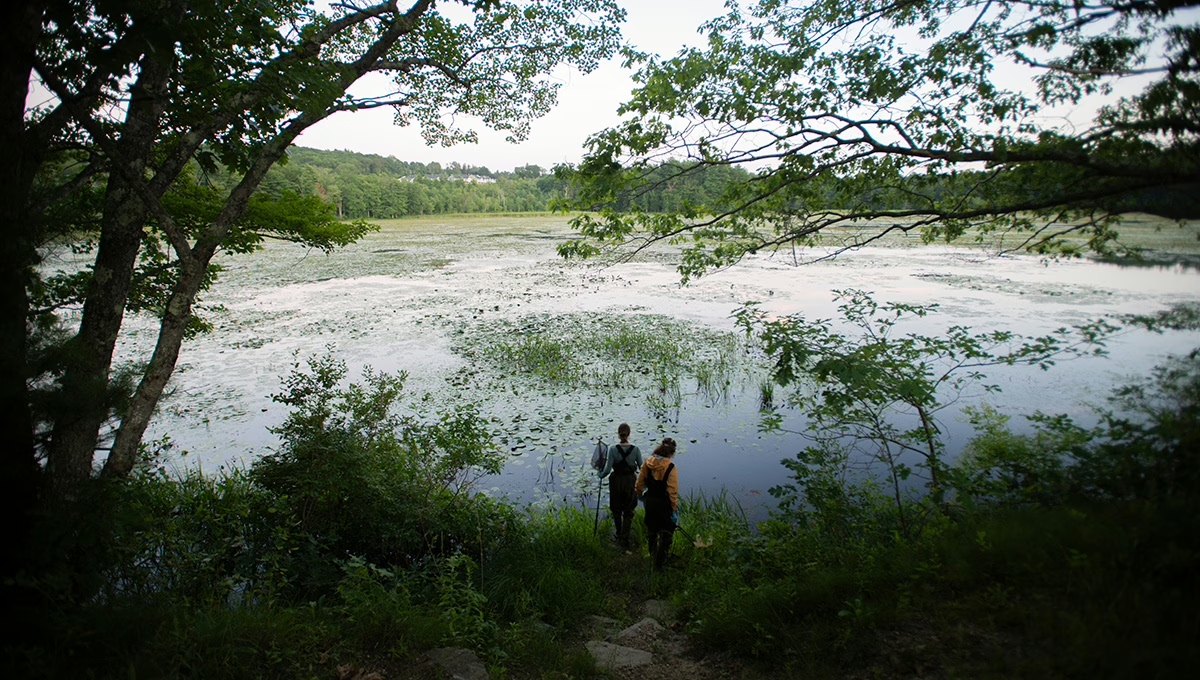
Integrating Crowdsourcing, in situ Sensing, and Spaceborne Observation to Understand the Sustainability of Smallholder Agriculture in African Wet Savannas
Livelihoods in Sub-Saharan Africa (SSA) rely heavily on small-scale farming. This dependence could deepen as SSA’s wetter savannas will be increasingly farmed to meet growing food demand, while economic growth strategies promote the expansion of smallholder farming. This large-scale, smallholder-based agricultural development in a region with a highly variable climate raises two important sustainability questions:…
-
Linkages and Interactions between Urban Food Security and Rural Agricultural Systems
Meeting urban food demand due to population growth, the changing nature of food consumption patterns, and the vulnerability of both local and regional food production to environmental variability presents future challenges. Globalization and international flows and trade of food and commodities are key aspects of how urban areas will meet future food demand. But urban…
-
Understanding Cross-Scale Interactions of Trade and Food Policy to Improve Resilience to Drought Risk
Food security in regions affected by drought is influenced by a complex set of interactions between hydrological, agricultural, and social systems. Previous models examining the impact of drought on food security have not incorporated food trade and food movements at fine spatial scales, yet these components are critical parts of regional food systems. In sub-Saharan…
-
Unlocking the Power of Active Remote Sensing for Ecosystem Services Modeling in the Amazon’s Forest-Agriculture Interface
The last decade has experienced a dramatic improvement in the extent and consistency of tree cover and gross deforestation products from optical imagery. These optical-based datasets are capable of tracing forest clearings made for plantations and pastures, but they suffer from cloud cover and may lump mature forest, secondary forest, and plantations into a single…
-
Creating Open Agricultural Maps and Ground Truth Data to Better Deliver Farm Extension Services
Smallholders in Africa often lack access to the inputs and information that can help boost their productivity and resilience to major sources of volatility including climate shocks. One key reason for this inadequacy of agricultural extension services is the absence of data that accurately map where croplands are and what they grow. Making such maps…
-
A Region-Wide, Multi-Year Set of Crop Field Boundary Labels for Sub-Saharan Africa
Smallholders in Africa often lack access to the inputs and information that can help boost their productivity and resilience to major sources of volatility including climate shocks. One key reason for this inadequacy of agricultural extension services is the absence of data that accurately map where croplands are and what they grow. Making such maps…
-
Enabling Crop Analytics at Scale: AGData Acceleration Facility
Smallholders in Africa often lack access to the inputs and information that can help boost their productivity and resilience to major sources of volatility including climate shocks. One key reason for this inadequacy of agricultural extension services is the absence of data that accurately map where croplands are and what they grow. Making such maps…
-
USAID Climate Adaptation Support Activity (CASA) – Planning Phase
The Climate Adaptation Support Activity (CASA) program supports USAID/Washington and USAID Missions to implement the Agency’s ambitious Climate Strategy and the President’s Emergency Plan for Adaptation and Resilience (PREPARE) initiative. To support CASA, Clark University researchers, through a partnership with Tetra Tech ARD, will provide technical assistance and other support to: (1) Increase actionable information…
Clark University
Contact information
George Perkins Marsh Institute
Office location
Mailing Address:
950 Main Street
Worcester, MA 01610-1477
Visiting address:
Sackler Sciences Center
Rooms 342 – 350
1-508-751-4622
1-508-751-4600 FAX
Be a force for change.
Come study at a small research university with a strong liberal arts core.
- Undergraduate
- Graduate
Still curious? Request more information.
Invest in the next generation of Clarkies.