As space enthusiasts prepared to mark the 100th anniversary of Clark physicist Robert Goddard’s launch of the first liquid-fueled rocket, geospatial and technical experts from the Allen Institute for AI (Ai2), ESRI, Earth Genome, The University of Cambridge, Pacific Northwest National Laboratory and other leading universities and companies gathered on campus to discuss how to improve sharing of AI-enhanced geospatial technologies for better assessing how the Earth is changing.
The Clark Center for Geospatial Analytics (CGA), which is affiliated with the School of Climate, Environment, and Society, co-organized the March 10-11 technical sprint with Radiant Earth, a Washington-based non-profit that supports initiatives to improve collaboration and access of geospatial data for scientific research. A grant from The Navigation Fund Open Science program supported the event.
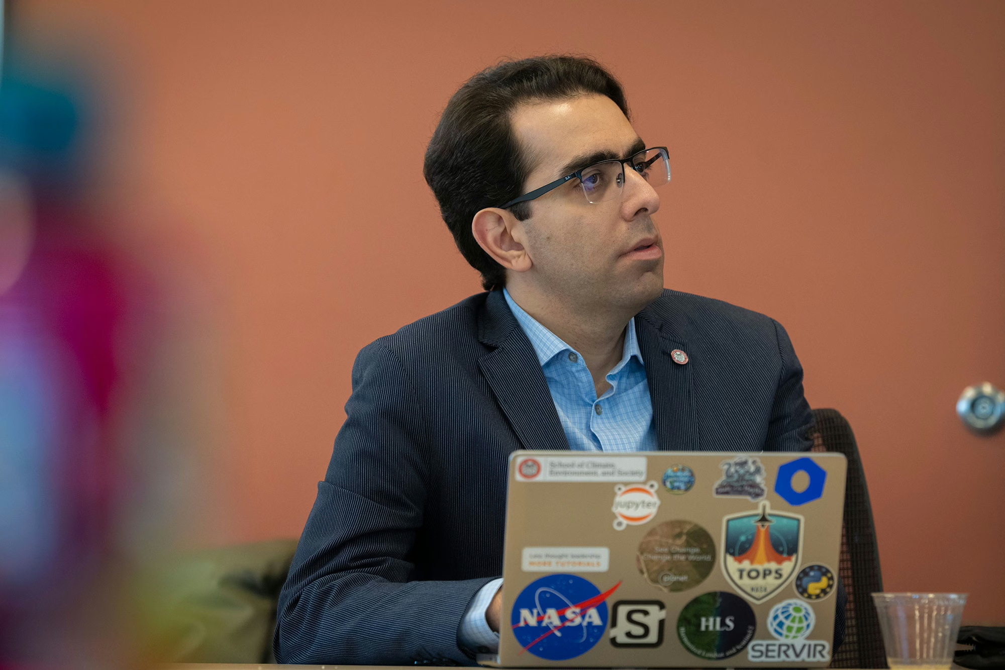
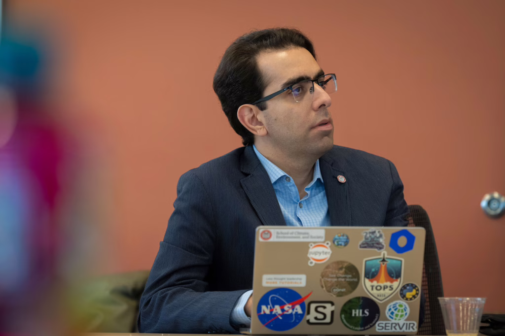
The timing of the sprint, so close to the March 16 Goddard anniversary, was not lost on Clark CGA Director and Geography Professor Hamed Alemohammad. Goddard’s pioneering innovation, developed in his Clark laboratory, launched the Space Age, propelling NASA’s rockets and eventually leading to the satellites that collect Earth observation data used in the field of geographic information science (GIS), which Clark helped pioneer.
“For over 40 years, Clark has been at the forefront of GIS and geospatial analytics, using satellite data to track environmental changes such as shrinking polar ice, coastal flooding, wildfire and drought impacts, and deforestation all over the world,” Alemohammad says. “These achievements are a direct descendent of and have been possible because of the work of Dr. Goddard and his colleagues in the early 20th century.
“Fast forward to today, and we’re in a data revolution,” he adds. “Satellites are generating more high-quality environmental data than ever before, and AI is now the key to unlocking what that data is telling us. AI is becoming part of nearly every Earth observation problem. It’s almost in every application in remote sensing that you can imagine.”
Clark, NASA, and IBM: a partnership that launched the world’s first geospatial AI foundation model
“I couldn’t imagine that AI would change our work so rapidly.”
— hamed alemohammad
As the former chief data scientist at Radiant Earth, Alemohammad oversaw the launch and development of MLHub (ML for “machine-learning”), the first open-access repository for geospatial training data and AI models.
Since 2023, he has led Clark CGA and its collaboration with NASA Marshall Space Flight Center and IBM to develop Prithvi Geospatial Foundation Model, the world’s first geospatial AI foundation model that transforms massive satellite datasets into accurate, actionable insights on how the Earth is changing.
“You feed large volumes of satellite data into a foundation model, and the model learns patterns that can then be used for different applications like mapping mangroves, predicting crop yields, or identifying field boundaries,” he says “This type of models create representations of Earth observation data that are becoming even more informative and can support a wide range of applications.”
Prithvi has garnered global attention and awards. Downloads of the earliest and subsequent versions of Prithvi — a name chosen from the ancient Sanskrit language for “Mother Earth” — now number over 710,000, and users are actively involved in suggesting improvements to the open-source geospatial AI foundation model.
“The models are changing rapidly,” Alemohammad says. “Even within the first six months of Prithvi’s release, we saw major changes in capabilities and functionality.”
Recent technical sprint at Clark aims to develop global standards for using geospatial-AI tool
In the recent technical sprint at Clark, researchers and technical experts addressed an emerging issue in geospatial AI: the need to develop standards and best practices around “embeddings,” or compact data representations produced by AI models that summarize large volumes of satellite imagery into a smaller format. Embeddings are somewhat like ZIP files, which compress data for archiving or transferring over email.
“As geospatial AI models become more advanced, users will increasingly work with these summarized representations rather than raw imagery. From those embeddings, they will build their applications,” Alemohammad says. “The challenge is that we don’t have any standard for how we store these embeddings, how we catalog their metadata for enhanced discoverability, or how we make them accessible to people.
“Given Radiant Earth’s legacy of bringing the community together around standards and best practices, and Clark CGA’s team working on advancing these foundation models, we thought it made sense to join efforts and convene people.”
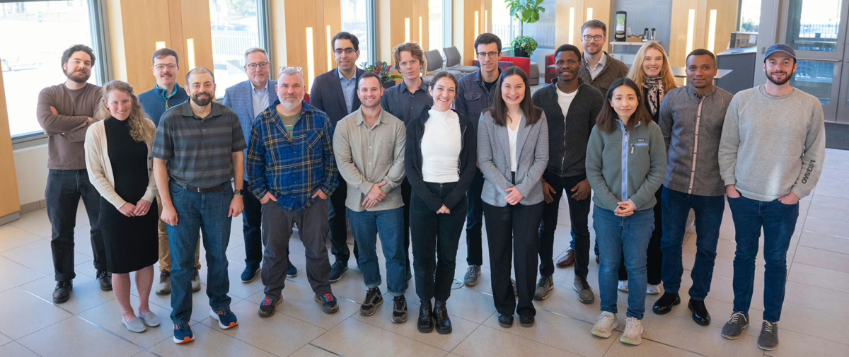
Additional organizations represented at the sprint included Arizona State University, Asterisk Labs, Development Seed, Element 84, LGND, Wherobots, and the University of Muenster’s Institute for Geoinformatics.
“We brought developers who are building AI models that generate embeddings, and the end users who are going to consume them, to be in the same room,” Alemohammad says.
Clark CGA is being contracted by NASA to create tutorials and packages for educators and others who want to learn and share information on how to use the geospatial AI foundation models.
Clark to present at NASA-European Space Agency workshop, partner with Oak Ridge National Lab
From May 19 to 22, Alemohammad and other Clark CGA team members plan to attend the second workshop on “AI Foundation Model for Earth Observation (EO),” organized by NASA and the European Space Agency (ESA) at the NASA’s Marshall Space Flight Center in Huntsville, Alabama. The event is expected to draw up to 350 participants from research institutes, universities, and other organizations. Alemohammad serves on the workshop’s program committee, and Clark researchers will present their latest research in this area.
Clark CGA also is collaborating with Oak Ridge National Laboratory, the federally funded research and development center in Tennessee, to convene a symposium next fall on campus for developers of GeoAI models “to identify gaps and bottlenecks and lay out recommendations for the community for the next two or three years to advance this technology,” Alemohammad says.
As he reflects on his last three years at Clark, Alemohammad says, “I couldn’t imagine that AI would change our work so rapidly. We knew it was a disruptor, and we knew it was going to come up with novel ways of consuming the data and driving decisions, but the pace, at least for me, was unexpected.”
Going forward, geospatial AI foundation models “are helping us consume the data, build better maps, make better forecasts and better projection,” he says.
The next step for Clark CGA is to increasingly incorporate AI agents into their workflow and build customized AI agents that can be used by “anyone around the world with expertise in geospatial, in climate, in remote sensing, to solve problems. The foundation models are enabling these agents to provide better insights for users,” says Alemohammad, who checks in every morning with his AI agent on his computer to perform coding tasks.
“What’s really exciting is that these tools are powering stakeholders to make better decisions in their day-to-day work and on long-term policies around climate mitigation and adaptation,” he adds. “But this new ecosystem of tools and data requires us to be more agile in our work and development — to adapt quickly, learn new things, discard the old, and be conscious of their limitations and constraints.”