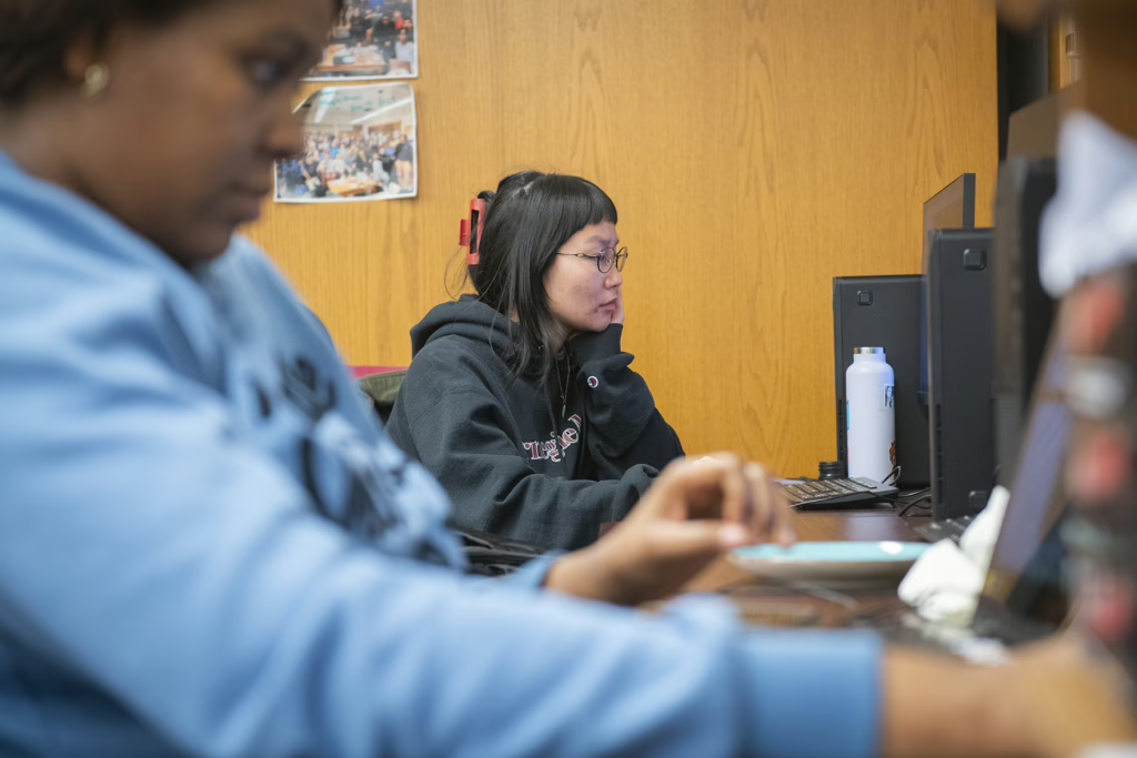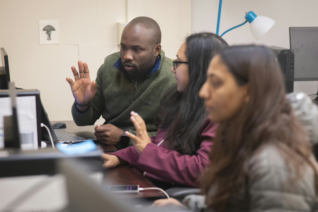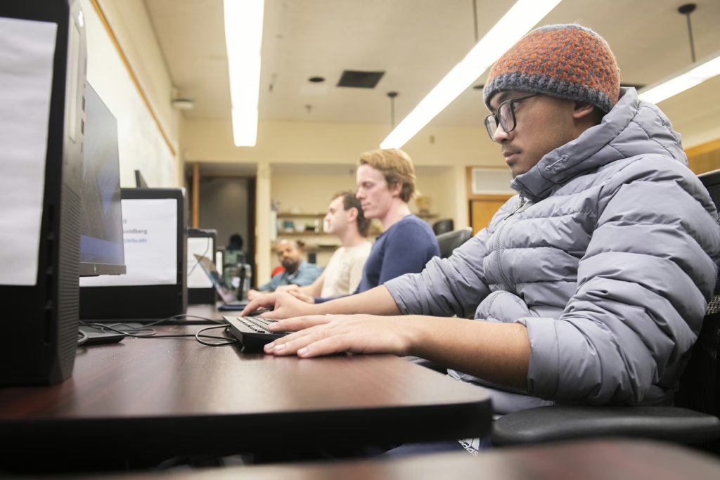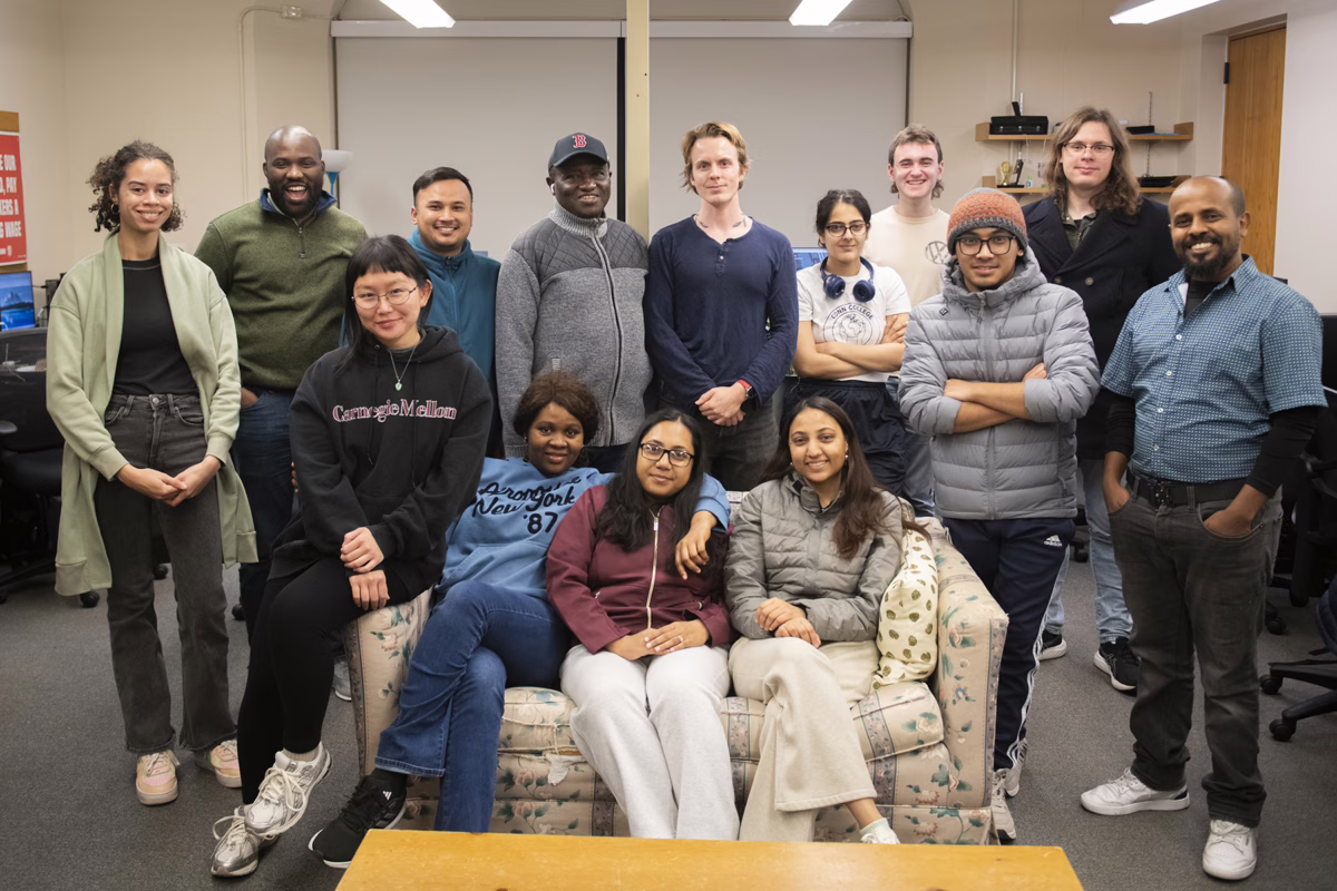
During the Fall 2025 GIS and Practicing Geography Week, a group of Clark students gathered for a mapathon focused on rooftop solar detection.
The event was part of “Mapping Rooftop Solar across New England,” a project led by Clark Center for Geospatial Analytics Director Hamed Alemohammad and Ph.D. student Denys Godwin, M.S./GIS ’24. The research, funded by one of the first mini-grants awarded by the National Science Foundation’s FARR Research Coordination Network, aims to create an open-access, high-quality, multi-imagery training dataset for rooftop solar panel detection in Massachusetts.
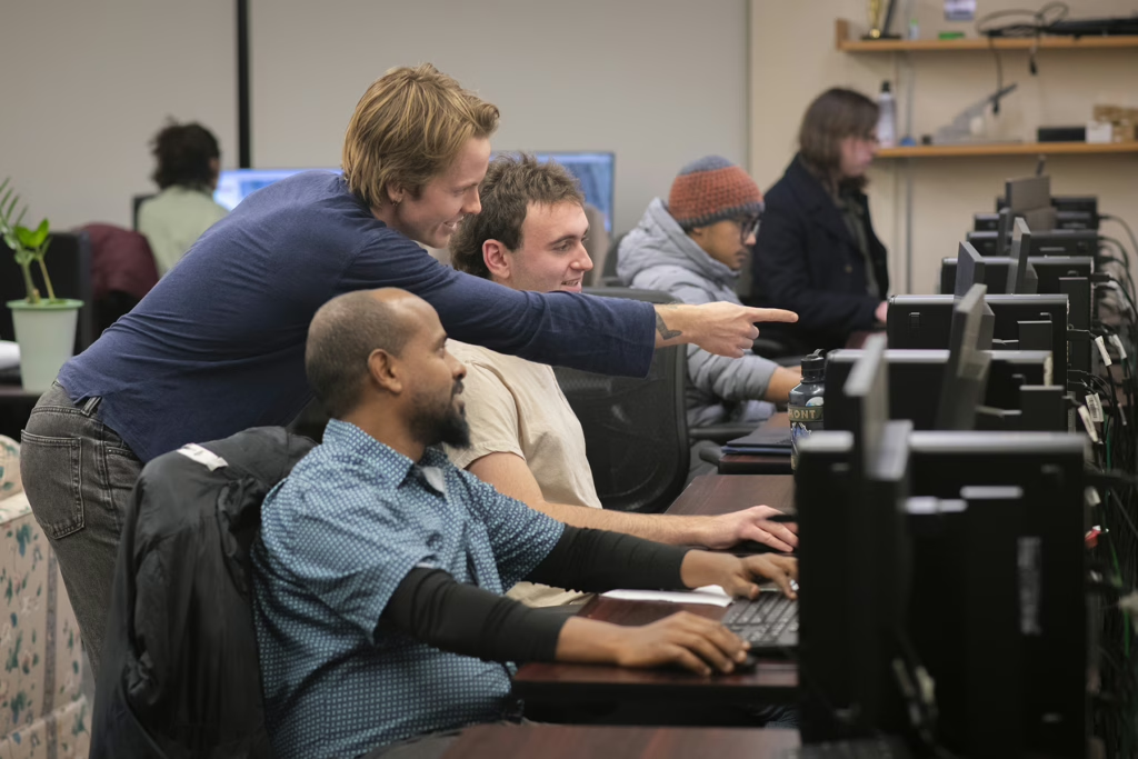
Students in the master’s in GIS program searched for and labeled rooftop solar arrays using a tool developed by Godwin and built on top of existing open source, reproducible, and interoperable geospatial Python tools. The data labeled by the students will be used to develop and publish an open dataset and rooftop solar detection model.
The NSF FARR (FAIR in ML, AI Readiness, and Reproducibility) Research Coordination Network funds studies that examine how machine learning and other big-data synthesis and prediction techniques enable the use of AI for decision-making.
FAIR refers to 15 guidelines, published in 2016, for making scholarly research findable, accessible, interoperable, and reusable.