From GeoAI Research to Real-World Impact: Clark CGA’s Earth Observation Embeddings Workshop
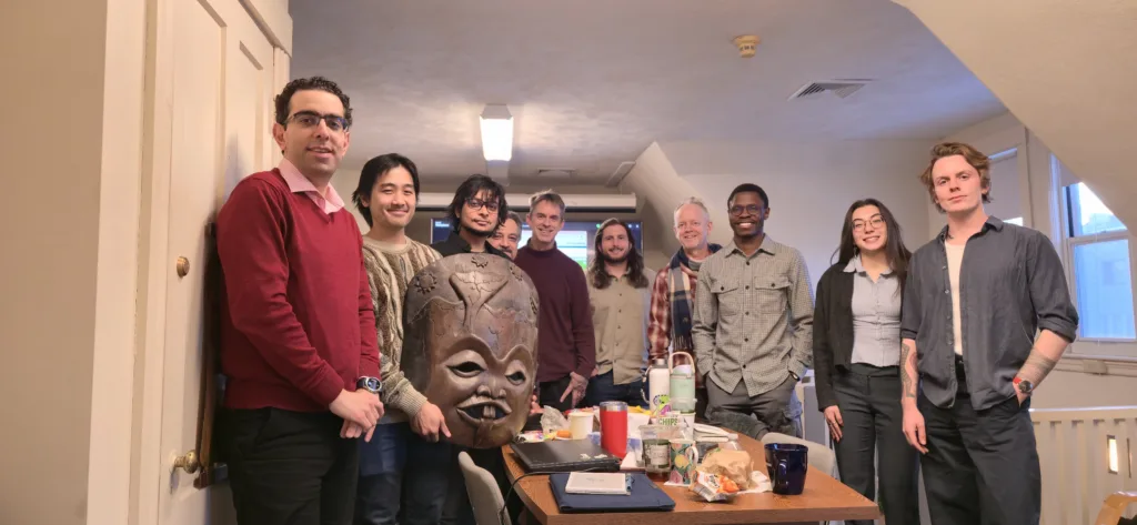
Environmental decisions increasingly depend on Earth observation data, but translating that data into something decision-makers can actually use is still hard. GeoAI is changing that, not just by improving models, but by improving the pathways from research to real workflows. That was the focus of a three-day collaboration hosted by the Clark Center for Geospatial Analytics (Clark CGA) with teams from Oregon State University and McGill University, centered on Earth Observation foundation models and the “embedding space” that powers them.
At the core of the workshop was a practical question: what does it take to move AI from a research lab into the hands of environmental decision-makers? Strong performance on a benchmark is only one piece of the story. Furthermore, real-world impact also requires shared evaluation approaches, interpretability, accessible tools, and sustained collaboration between researchers and practitioners.
Earth Observation foundation models learn representations of the planet from massive volumes of satellite data. The embedding space, sometimes described as the model’s “digital DNA,” is where that understanding is encoded in a compact form that can be used downstream for mapping, monitoring, and change detection. Across the workshop, participants examined how different models and methods represent geospatial patterns, how those representations can be evaluated, and what they enable when translated into operational workflows.
A central theme was usefulness in practice: how to evaluate foundation models not only for benchmark performance, but for the realities of environmental monitoring and policy settings. The group discussed models such as Prithvi and AlphaEarth, with particular attention to how these capabilities could support practical applications aligned with the SERVIR Global Collaborative, where reliability, transparency, and repeatability are essential for adoption.
Moreover, the workshop also highlighted Clark CGA innovation through presentations on the GELOS project and a custom visualization application designed to make high-dimensional embedding data more interpretable and accessible. By helping users explore what models “see,” compare representations, and identify strengths and limitations, these tools support clearer communication about model behavior and help broaden engagement beyond specialist audiences.
Looking ahead, participants explored the role of agentic AI in remote sensing. Agentic systems can automate multi-step analysis workflows, reduce friction in data preparation, and make complex tasks more accessible. Additionally, as geospatial analytics pipelines grow in sophistication, agentic approaches may help lower the barrier for non-experts to generate useful insights without requiring deep specialization in every step of the process.
The collaboration showcased the breadth of Clark CGA’s work across GeoAI, visualization, and applied remote sensing. Denys Godwin, Rufai Balogun, Yao-Ting Yao, and Eli Simonson presented multiple tracks of the GELOS project and demonstrated the embedding visualization app. Eli Simonson led a critical review of the “Earth Embeddings as Products” framework. Sam Khallaghi shared insights on adapter mechanisms for fine-tuning models, including approaches that can improve SAR image processing. Clark CGA is grateful to collaborators who contributed to the workshop’s depth and momentum, including Prof. Robert Kennedy of Oregon State University and Prof. Jeffrey Cardille of McGill University, whose participation helped ground the conversation in methodological rigor and practical direction.
GeoAI is evolving quickly, but progress matters most when it is paired with pathways to use. Through collaborations like this workshop, Clark CGA is helping ensure that advances in foundation models translate into environmental monitoring capabilities that keep pace, supporting not only research breakthroughs, but also decision-support tools and interfaces built for real-world resilience.