Mapping the Future of Conservation in Congo
The Democratic Republic of the Congo (DRC) holds some of the most ecologically vital landscapes on Earth. Its forests store billions of tons of carbon, its savannas shelter extraordinary biodiversity, and its rivers sustain life on a continental scale. The Congo Basin rainforest, second in size only to the Amazon, is not just a regional treasure but a planetary one. Yet protecting these places demands more than good intentions. It demands data, and the right people to make sense of it.
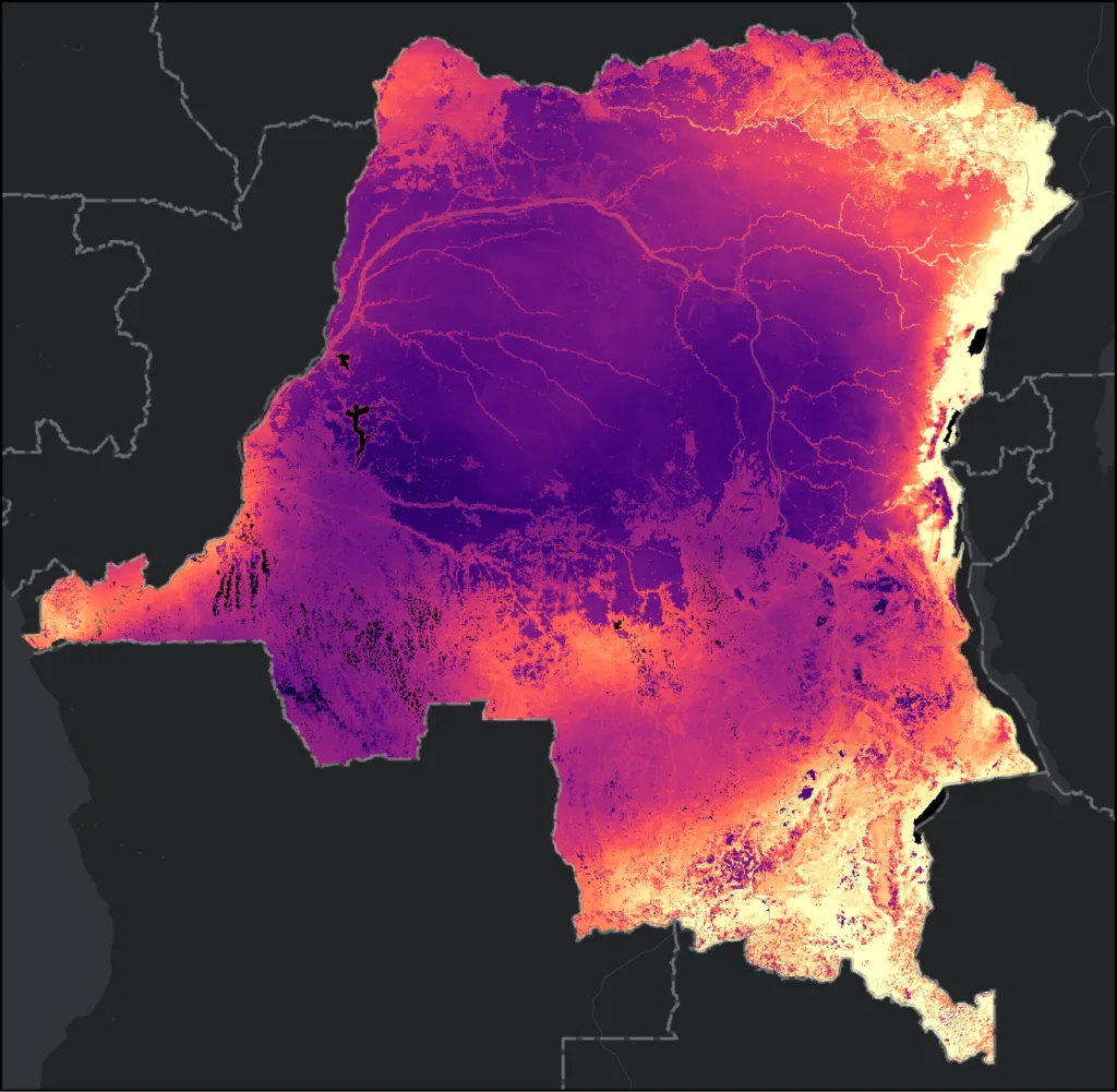
Source: BirdLife Area of Habitat (AOH)
Researchers at the Clark Center for Geospatial Analytics (CGA) partnered with the Wildlife Conservation Society (WCS) to do exactly that. Their goal: build a geospatial pipeline capable of evaluating the entire DRC landscape and identifying where conservation action is most urgently needed. The work directly supports the 30 by 30 initiative, a global commitment to protect 30% of the world’s lands and oceans by 2030, one of the most ambitious environmental targets ever set.
The approach was methodical. The team divided the entire DRC into one-kilometer grid cells and filled each one with layers of environmental data: forest landscape integrity, land cover types, urban to rural gradients, biodiversity hotspots, above-ground biomass, and indicators of ecological value or degradation. All datasets were processed through Google Earth Engine and made fully publicly available, creating a standardized, analysis-ready framework that conservation organizations can immediately build on. Once summarized into gridded tabular format, the data could be fed into modeling frameworks to help identify and prioritize areas for future protection.
“It’s not about what data is out there,” says CGA Research Associate Eli Simonson. “It’s how you process it and get it into the hands of the people who need it.”
That framing gets at something the project quietly proves: geospatial data is only as useful as the infrastructure built around it. Raw satellite imagery and biodiversity indices don’t protect forests on their own. They need to be cleaned, organized, contextualized, and delivered in a form that decision-makers can actually use.
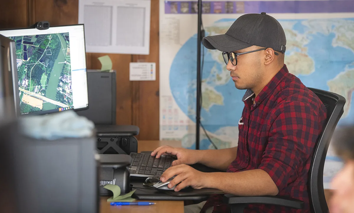
In the early stages, Simonson focused on developing a framework for summarizing environmental variables across an entire country, researching available datasets and cross-referencing them with priority lists from WCS collaborators. That meant meetings with partners to discuss what data layers already existed, what gaps remained, and what public repositories might fill them. From there, the team built a data processing pipeline capable of converting everything into a format ready for geospatial modeling. It was part research, part coordination, and part technical construction.
That work isn’t glamorous, but Simonson found it genuinely rewarding. “It’s always fun to find a new dataset and apply your expertise to get it into a standardized format where everything can be cross-compared and used downstream,” he says. The project was equal parts technical puzzle and conservation cause, a combination that kept the work meaningful even on the most demanding data-wrangling days.
The project ran on a small but well-positioned team. Simonson handled data collection and processing, passing analysis-ready material to Hamed, the principal investigator who led the scientific work. Rounding out the team was Pacific, a DRC native, WCS collaborator, and recent master’s graduate from Clark University, who acted as the connective tissue between the CGA team and partners on the ground. Pacific’s existing relationships with national agencies in the DRC were essential, giving the team access to local knowledge and institutional context that remote analysis alone could never provide.
That human element turned out to matter more than expected. One of Simonson’s quieter takeaways was how much you can miss by staying within the world of open-source data. “When you talk with organizations like the Congo Forest Service,” he says, “that’s when you learn who’s doing what, what datasets they’re actually curating, and how they’re using them in practice.” Public repositories are a starting point. The real picture only emerges through sustained conversation with the people doing the work on the ground.
The project is candid about its scope. It was a short-term engagement, originally planned as four to six months, and Simonson is the first to acknowledge that more could have come from it with more time. Deeper partnerships and longer timelines could have opened doors that a quick-turnaround project simply cannot. But the framework the team built is significant as a proof of concept. “This is a stepping stone,” Simonson says. “A lot of tools and user interfaces could be built around a pipeline like this.”
It also serves as a reminder that conservation happens at all levels, from satellite grids covering a million square kilometers down to the rangers and local agencies working on the ground every day. Connecting those scales, technically and institutionally, is where the real work lies. The data exists. The methods work. The path toward protecting the Congo’s landscapes is more navigable than it was before.