Clark University Hosts 2nd Annual Northeast Higher Ed GIS Facilitators Meet Up
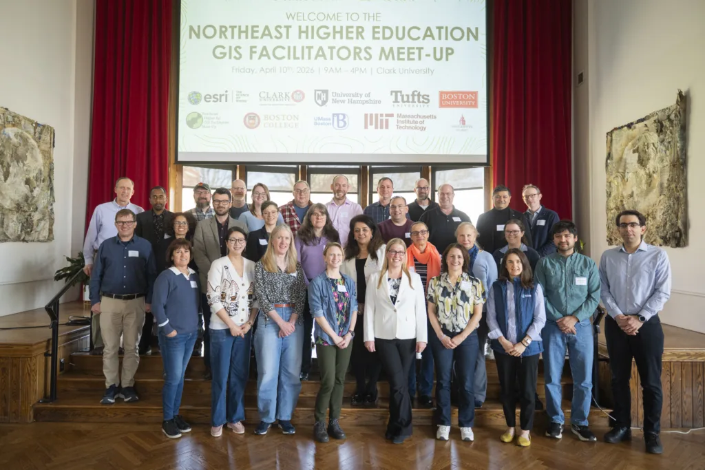
On Friday, April 10th, 2026, Clark University’s Center for Geospatial Analytics was proud to host the 2nd Annual Northeast Higher Ed GIS Facilitators Meet Up, welcoming approximately 40 GIS professionals from across the Northeast United States for a full day of collaboration, learning, and community-building. The event brought together a diverse group of higher education GIS practitioners, including administrators, educators, lab managers, and librarians, united by a shared commitment to advancing geospatial technology and support services across their campuses.
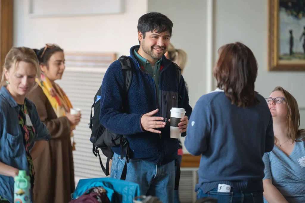
The meet was shaped around a central goal: strengthening GIS collaboration across Northeast campuses. After an opening hour of breakfast and networking, the morning’s featured session got underway with a keynote from Geri Miller, Director of Global Education at ESRI, focused on ArcGIS Governance in Higher Education. Her presentation tackled some of the most pressing administrative challenges facing GIS programs today, covering the management of storage, content, credits, and users within institutional ArcGIS environments, and offered attendees practical frameworks they could bring back directly to their home institutions.
The mid-morning transitioned into the first of two lightning talk sessions, this one focused on GIS Governance and Strategy. Furthermore, Bahare Sanaie-Movahed, GIS Specialist at Northeastern University, opened with an overview of geospatial data governance at her institution. Patrick Florance, Senior Director of Research Technology at Tufts University, followed with a presentation on building a university-wide GIS strategy that integrates governance, collaboration, and long-term planning. Rounding out the session, Marcia Moreno-Baez, Research Professor at The Fletcher School at Tufts University, presented on a particularly timely topic: integrating GIS and AI into an international affairs curriculum, offering a compelling example of how geospatial thinking is expanding into new academic disciplines.
Following a lunch break dedicated to open networking, the afternoon opened with a second round of lightning talks centered on GIS Technical Sessions. Shane Bradt, Extension Specialist in Geospatial Technologies at the University of New Hampshire, shared strategies for making ArcGIS web applications more accessible, while Bethany Seeger, Technical Lead for Research, Learning, and Scholarly Resources at Yale University, presented on SMP Location Services via ArcGIS Server. Both talks reflected the event’s emphasis on practical, peer-driven knowledge exchange.
Additionally, the afternoon’s centerpiece was a set of interactive breakout sessions, structured as 30-minute rotating discussions that allowed attendees to engage deeply with four key topics: ArcGIS Online Governance with Geri Miller of ESRI, Digital Accessibility with Shane Bradt of UNH, GIS Service Coordination and Promotion with Carolyn Talmadge of Tufts University, and AI in GIS with Brian Baldwin of ESRI. This format gave participants the chance to have candid, smaller-group conversations with subject matter experts and peers facing similar challenges at their own institutions.
The formal program closed with a group discussion on the future direction of the Northeast GIS Facilitators Group, followed by coffee and closing remarks. For those who wanted to keep the conversations going, an optional Mappy Hour rounded out the day.
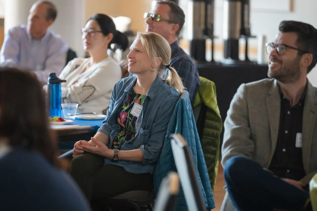
The remarkable breadth of institutional participation speaks to the reach and relevance of this growing professional community. Co-sponsors and attendees came from across the region, representing ESRI, Tufts University, the University of New Hampshire, Boston University, Boston College, UMass Boston, MIT, Bridgewater State University, Yale University, Northeastern University, Salem State University, New York University, Brown University, the University of Connecticut, the University of Rhode Island, Harvard University, Swarthmore College, Amherst College, the University of Maryland Baltimore, Williams College, and Brandeis University. A map and online dashboard highlighting attendee locations and event data are also in development and will be available in the coming weeks.
The growing turnout and rich programming of this second annual gathering reflect the strength and momentum of the Northeast GIS professional community. Clark’s Center for Geospatial Analytics looks forward to continuing to serve as a hub for this kind of meaningful, cross-institutional collaboration, and hopes to see even more familiar and new faces at next year’s event.