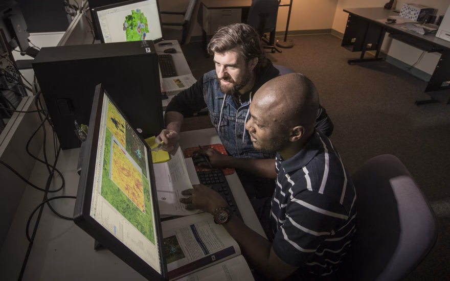
Work with top experts in the field—and with pioneering technologies—to forge a distinguished career in geographic information science (GIS).
If your goal is to be a leader in the GIS field, our Master’s in Geographic Information Science (GIS) is designed for you. The GIS master’s program is a natural extension of our internationally recognized work on the frontier of geospatial technology, and we are pioneering the interpretation of remote sensing, mapping, and analytics, continually revealing new information about our world.
The M.S. in Geographic Information Science (GIS) is a collaboration among three areas of the university: the Graduate School of Geography, the International Development, Community, and Environment (IDCE) Department, and Clark Labs, a leading developer of software-based geospatial solutions, founded and housed here at Clark University. The TerrSet/IDRISI platform developed at Clark Labs has quickly become one of the most widely used GIS systems in the world and is shaping approaches to geospatial problem-solving.
Our students work closely with faculty experts to research, assess, and apply inventive geospatial approaches to some of the most pressing societal challenges. We work at the leading edge of areas such as conservation GIS, land-use change, public health, environmental justice, food security and humanitarian assistance, and earth systems information science. Our four concentration tracks provide an opportunity to study these topics at even greater depth, positioning you for immediate impact upon graduation.
International Students
Science, technology, engineering, and mathematics (STEM) degrees are in tremendous demand across most major industries in the United States. If you graduate with a STEM-designated degree, such as the Master of Science in Geographic Information Systems, you may be eligible to remain in this country for up to 36 months on Optional Practical Training (OPT).