| Hamed Alemohammad |
Evaluating Performance of a Foundation Model for Optical Earth Observation on Downstream Tasks |
NASA |
| Lyndon Estes |
High Resolution Crop Analysis |
Cloud to Street |
| Lyndon Estes |
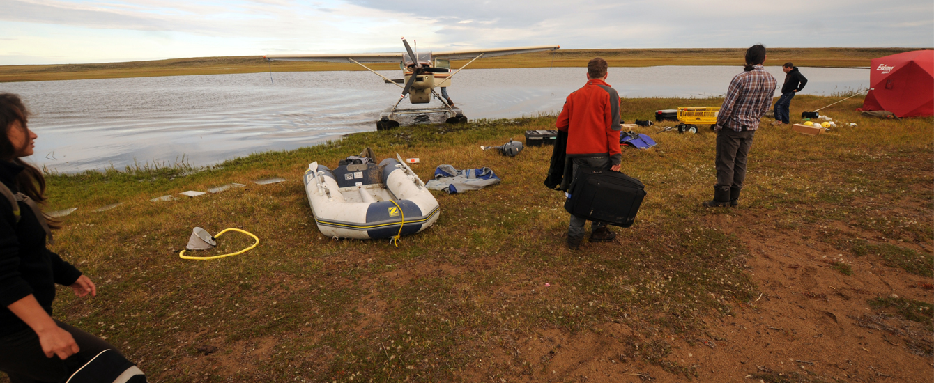
SERVIR: Unlocking the power of active remote sensing for ecosystem services modeling in the Amazon’s forest-agriculture interface |
NASA |
| Lyndon Estes |
Jurisdictional Forest Carbon Project Support |
TerraCarbon |
| Lyndon Estes |
The Climate-Food-Urbanization Nexus and the Precursors of Instability in Africa |
Department of Defense Minerva Research Institute / UCSB |
| Abby Frazier |
Pacific RISA: Building International Adaptation and Resilience to Changing Climate in the Pacific Islands |
East-West Center |
| Robert Gilmore Pontius and Gustavo Oliveira |
Irrigation as climate-change adaptation in the Cerrado biome of Brazil evaluated with new quantitative methods, socio-economic analysis, and scenario models |
NASA |
| Florencia Sangermano |
Collaborative Research: BoCP-Design US-Sao Paulo: Land use change, ecosystem resilience and zoonotic spillover risk. |
NSF |
| Christopher Williams |
NFCMS Update and Carbon Assessment for Forest Conservation Panning and Action |
Open Space Institute |
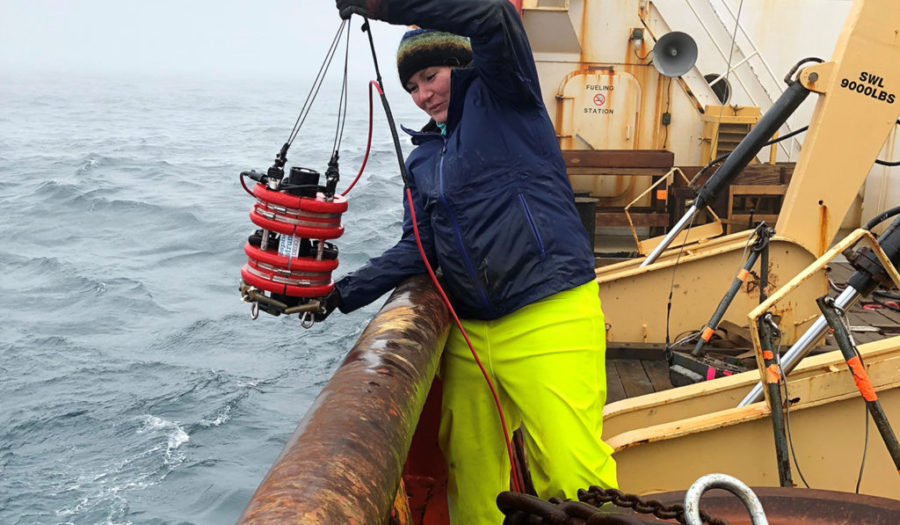
| Karen Frey |
RAPID: Impacts of increased Light Transmittance on Ocean Heating, Primary Productivity, and Carbon Cycling Across a Pacific Arctic Continental Shelf Gradient |
NSF |
| Abby Frazier |
Drought Early Warning and Response in Hawaii – Expanding and enhancing stakeholder-driven drought products and services
|
NOAA
|
| Robert Gilmore Pontius |
LTER-Plum Island Ecosystems: The impact of changing landscapes and climate on interconnected coastal ecosystems |
NSF |
| John Rogan |
Planting resilient riparian forests for water supply and public health in under-served communities |
USDA/GroundworksRI
|
| John Rogan |
Blackstone River Urban Tree Planting to Enhance Bird Habitat and Communities (RI) – match only |
NFWF/GroundworksRI
|
| Florencia Sangermano |
How to Navigate and Chart a Course Forward for Women Graduate Students in GIScience |
University Consortium for GIS
|
| Christopher Williams |
Avoided Deforestation as a Climate Opportunity in the US |
TNC |
| Lyndon Estes |
Enabling Crop Analytics at Scale AGData Acceleration Facility |
TetraTech/Farmerline |
| Abby Frazier |
Translating existing model results to aid in resource management planning for future precipitation extremes in Hawai’i and SE Alaska |
United States Geological Survey
|
| Abby Frazier |
Routine Monitoring of Climate in the State of Hawai’i: Establishment of State Climate Divisions |
NOAA |
| Abby Frazier |
Scaling up the Hawai’i Drought Knowledge Exchange |
USFS |
| Karen Frey |
Remote sensing of river carbon fluxes to the ocean |
NASA/Northeastern |
| Robert Gilmore Pontius |
Methods and software to understand and build the MapBiomas data |
Instituto Humanize |
| John Rogan |
Revitalizing Hadwen Arboretum in Worcester’s Columbus Park Neighborhood |
Commonwealth of Mass Executive Office of Public Safety
|
| Christopher Williams |
Decision support tools for global assessment of albedo impacts on NCS from reforestation and avoided deforestation |
TNC/EarthFund
|
| Asha Best and Lyndon Estes |
Methodologies for just urban futures: Using geospatial tools to address police violence |
Urban Studies Foundation |
| Mark Davidson |
Organising the 21st Century City: An International Comparison of Urban Alliances as Citizen Engagement |
Henry Halloran Trust |
| Lyndon Estes |
A region-wide, multi-year set of crop field boundary labels for Sub-Saharan Africa |
Lacuna Fund |
| Lyndon Estes |
Creating open agricultural maps and ground truth data to better deliver farm extension services |
Tetratech for Gates Foundation |
| Lyndon Estes |
Combining spatially-explicit simulation of animal movement and Earth Observation to reconcile agriculture and wildlife conservation |
National Aeronautics and Space Administration |
| Lyndon Estes |
Amazon Sustainability Data Initiative Promotional Credits Award |
Amazon Web Services |
| Lyndon Estes |
Continued Development of the Mapping Africa Active Learning Platform |
Omidyar Network |
| Lyndon Estes |
SERVIR: Unlocking the power of active remote sensing for ecosystem services modeling in the Amazon’s forest-agriculture interface |
NASA |
| Lyndon Estes |
CNH2-L: Feedbacks between Urban Food Security and Rural Agricultural Systems |
National Science Foundation |
| Abby Frazier |
Translating existing model results to aid in resource management planning for future precipitation extremes in Hawai’i and SE Alaska |
United States Geological Survey |
| Abby Frazier |
Routine Monitoring of Climate in the State of Hawai’i: Establishment of State Climate Divisions |
NOAA |
| Abby Frazier |
Scaling up the Hawai’i Drought Knowledge Exchange |
USFS |
| Karen Frey |
RAPID: Impacts of increased Light Transmittance on Ocean Heating, Primary Productivity, and Carbon Cycling Across a Pacific Arctic Continental Shelf Gradient |
National Science Foundation |
| Karen Frey |
Remote sensing of river carbon fluxes to the ocean |
NASA Carbon Cycle Science |
| Karen Frey |
Collaborative Research: The Distributed Biological Observatory (DBO)-A Change Detection Array in the Pacific Arctic Region |
National Science Foundation |
| Deborah Martin |
Planting Trees for Improved Community Health in Two Small Low-Income Cities in Massachusetts |
US Department of Agriculture |
| James Murphy |
Governing Sustainability through Place-Making: Eco-districts in the Pittsburgh Metro Region |
National Science Foundation |
| Robert Gilmore Pontius |
LTER-Plum Island Ecosystems: The impact of changing landscapes and climate on interconnected coastal ecosystems |
National Science Foundation |
| Robert Gilmore Pontius |
LTER-Plum Island Ecosystems: Dynamics of coastal ecosystems in a region of rapid climate change, sea-level rise, and human impacts |
National Science Foundation |
| Robert Gilmore Pontius |
Methods and software to understand and build the MapBiomas data. |
Instituto Humanize |
| John Rogan |
Planting resilient riparian forests for water supply and public health in under-served communities |
USDA/GroundworksRI |
| John Rogan |
Urban Greenspace and Air Quality: Demonstrating the positive influence of the Hadwen Arboretum on Local Air Quality |
Clark University |
| John Rogan |
Assessing urban heat island effects in the Clark University Hadwen Arboretum |
Clark University |
| Florencia Sangermano |
Collaborative Research: BoCP-Design US-Sao Paulo: Land use change, ecosystem resilience and zoonotic spillover risk. |
National Science Foundation |
| Florencia Sangermano |
Essential Biodiversity Variables – ScaleUp – Harnessing the power of GEE and GEO BON to bring EBVs from concept to application-ready global solutions in service of society |
GEO-Google Earth Engine Program |
| Florencia Sangermano |
Urban Heat Islands, Mosquito biodiversity, and the effect of vegetation as a regulating service in a city of Argentina |
National Geographic Society |
| Rinku Roy Chowdhury |
Collaborative research: MSB:FRA: Alternative futures for the American Residential Macrosystem |
National Science Foundation |
| Christopher Williams |
Avoided Deforestation as a Climate Opportunity in the US |
The Nature Conservancy |
| Christopher Williams |
Decision Support Tools for Global Assessment of Albedo Impacts on NCS from Reforestation and Avoided Deforestation |
The Nature Conservancy |