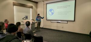
Tasso Azevedo is the Founder and General Coordinator of MapBiomas, a groundbreaking collective initiative for monitoring land cover and land use change. He is also the Chair of the Board for the Connection Forest People Initiative and has held key leadership roles, including as Founder and General Director of IMAFLORA, General Director of the Brazilian Forest Service, and lead designer of the Amazon Fund. Azevedo is currently a Visiting Scholar at Princeton University. Clark CGA organized a campus visit event and a talk by Tasso Azevedo on Thursday, January 16, at Clark University for our team to engage and learn more about the maps and data that empower decision-making on sustainable land use in the tropics.
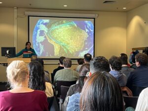
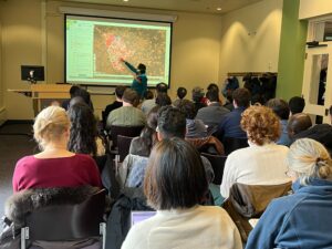
In his talk, Tasso introduced MapBiomas as a tool to understand and combat climate change’s negative implications, such as severe droughts, wildfires, and temperature anomalies. He also demonstrated how it provides decision-makers with critical data to inform policies and conservation efforts. The expansion of the project to other tropical regions was a key highlight, emphasizing efforts to build local capacity for generating land use data.
“It was inspiring to see the quantity and quality of data that MapBiomas creates and shares on a yearly basis. Tasso explained some of the issues involved with data creation, some of the great potential products for the future, and had a passion for ways to be able to replicate this type of workflow in other areas in the world,” said Tammy, a senior software developer at Clark CGA.
Yao-Ting, a staff software engineer at CGA, also shared her perspective on the technical innovation behind MapBiomas: “I was impressed by how MapBiomas applied time series analysis and their deep local knowledge of agriculture to monitor land use changes. They developed their own app to provide open access to the resulting dataset. One quote that stood out to me was: ‘The cheapest way to protect a forest is to assign it to Indigenous people.’”
Reflecting on the impact of MapBiomas, our Research Scientist, Rishi Singh, shared a major takeaway from the talk: “Tasso and the extended MapBiomas network continue to impress me with their ability to produce annual, high-quality map datasets that empower users to explore and monitor pressing land change patterns in key countries. By delivering these datasets to stakeholders for free through a unique business model, MapBiomas has been able to establish themselves as a reliable source of information for decision-makers addressing issues of climate change and environmental conservation. Future collaborations between Clark CGA and MapBiomas will be critical in helping people to visualize the ways in which our landscape is rapidly changing and presents an incredible opportunity with global impacts.”
Tasso’s talk provided an understanding of land use change but also reinforced the importance of accessible, high-quality geospatial data in shaping a more sustainable future, the meeting further concluded with the mutual decision to find more avenues for future collaboration and led to a fruitful relationship.
 .
.