Interdisciplinary center advancing geospatial tech to address conservation, climate, and sustainability challenges.
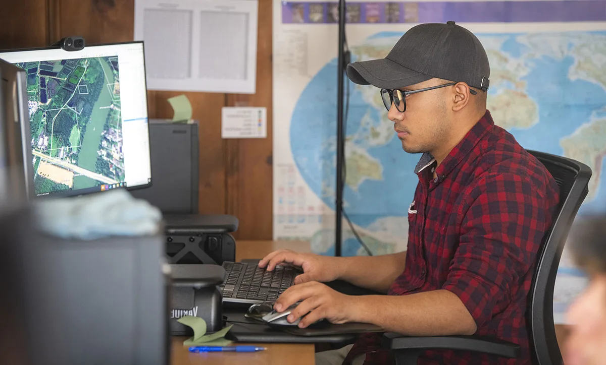
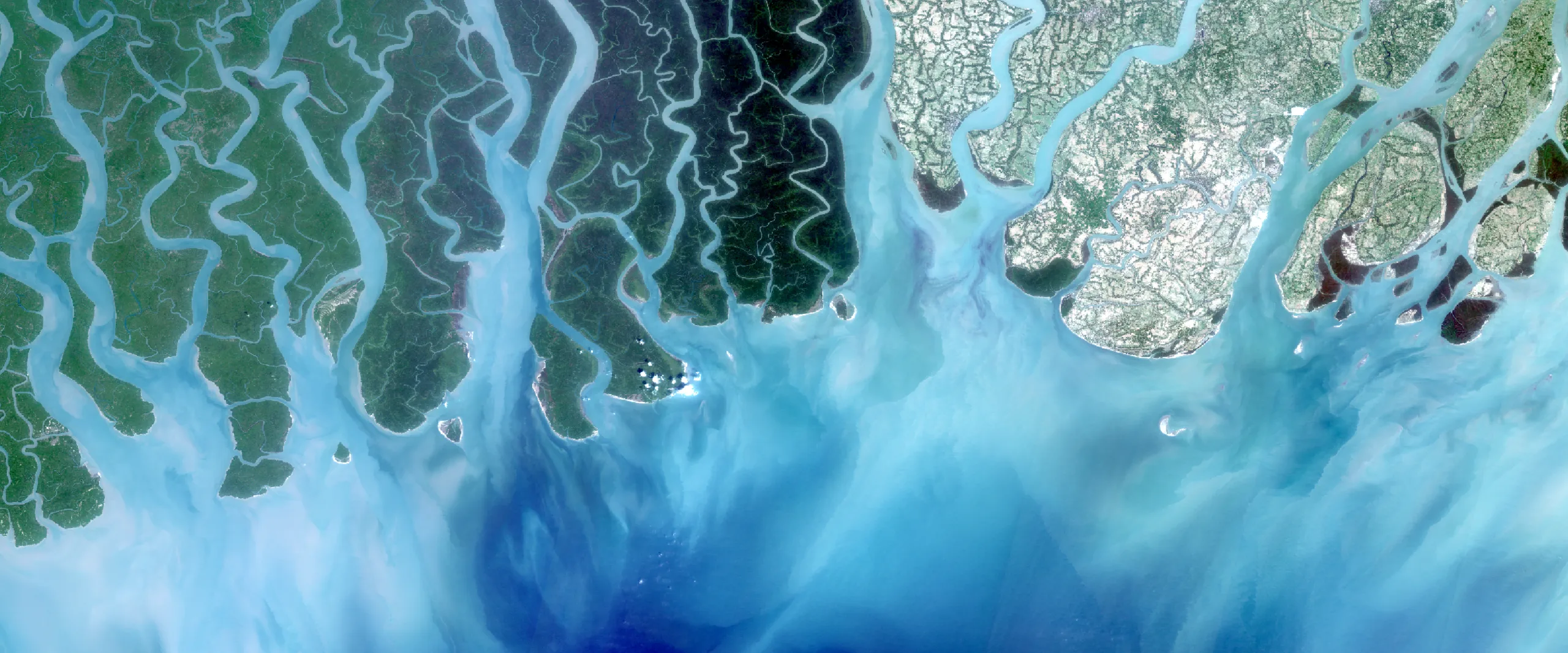
The Center for Geospatial Analytics is a unique interdisciplinary research center that is pioneering geospatial software and technology. We collaborate with top researchers, policy experts, and industry leaders to address a diverse range of challenges in conservation, climate change impacts, and environmental sustainability.
Our focal areas of work
Innovation in GeoAI
Unleashing geospatial insights with generative AI
Implementing techniques and products
Empowering action with geospatial solutions

Developing tools and technology
Democratizing access to geospatial analytics for greater impact
News
-

Shaping the Future of Earth Science: Clark CGA at AGU 2025
This past December, Clark Center for Geospatial Analytics (Clark CGA) joined the global scientific community in New Orleans for the American Geophysical Union (AGU) Fall…
-
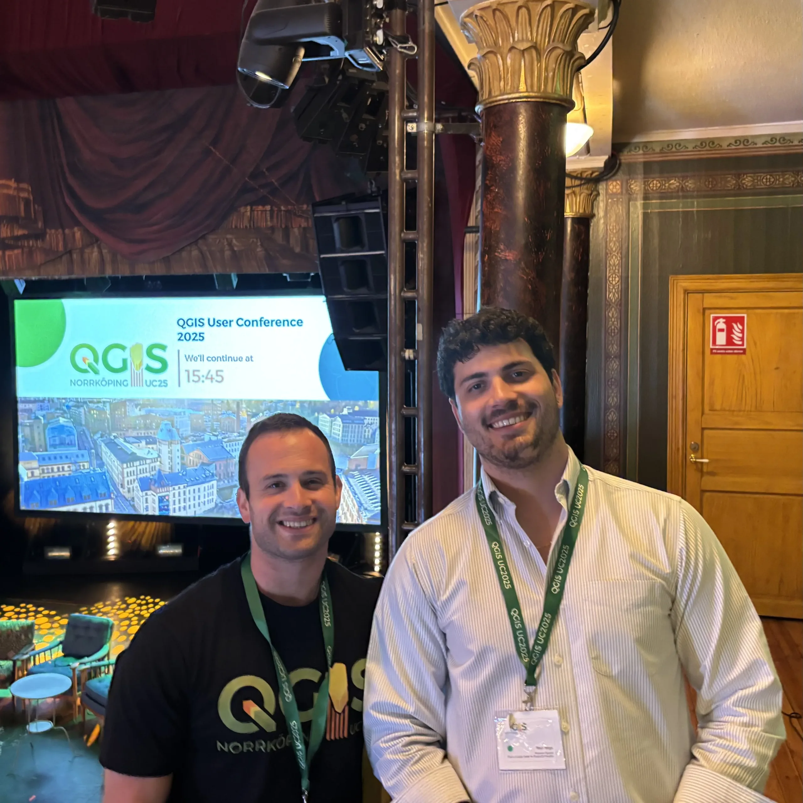
Connecting with the Global QGIS Community: Clark CGA in Sweden
Clark Center for Geospatial Analytics (Clark CGA) operates on the philosophy of open science, prioritizing the creation of tools and data that…
-

Learning from the IT Community: Clark CGA at SpiceWorld Conference 2025
In an era where Artificial Intelligence (AI) is rapidly reshaping the digital landscape, maintaining the technology behind a research center requires constant…
-
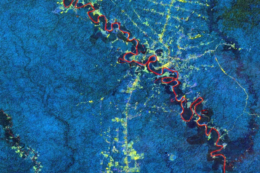
Mapping the Blue Economy: A Decade of Monitoring Aquaculture with the Moore Foundation
Since 2014, Center for Geospatial Analytics (Clark CGA) has partnered with the Gordon and Betty Moore Foundation to tackle critical questions in…
Our partners
The center works in concert with partners across the globe including: