🌍 Elephants in Tanzania, walruses in the Arctic, bison in Montana, and bears in the New York Adirondacks: These animals and their habitats have all benefitted from research conducted by graduate students in Clark’s Wildlife Conservation GIS Research Seminar over the past 13 years.
Each spring, a cohort has tackled a vexing biodiversity project for the Wildlife Conservation Society — diving into high-resolution satellite imagery, remote-sensing technologies, and scientific datasets to uncover insights that support global conservation efforts.
This year’s mission was the most ambitious yet: combing through all of @thewcs’s global data to detect patterns and trends in environmental impact metrics across the organization’s managed conservation units worldwide.
🔗 Read about the team’s findings at the link in our bio.
—
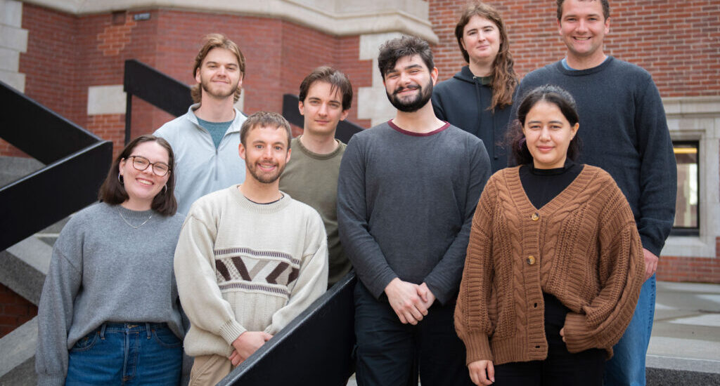
📸 Members of Clark University’s 2025 Wildlife Conservation GIS Research Seminar included Winnie Gross ’24, M.S.-GIS ’25; Andrew Niehaus ’23, M.S.-GIS ’25; Caleb Kluchman ’24, M.S.-GIS ’25; Saida Mousavi, M.S.-E&P ’25; Ben Spencer ’23, M.S.-ES&P ’25; Rory Dickinson ’24, M.S.-GIS ’25; Adlai Nelson ’24, M.S.-GIS ’25; and Tanner Honnef ’24, M.S.-GIS ’25.