Skip to content
Graduate-Program-IDCE-GIS-Banner.
Loading…

Work with top experts in the field—and with pioneering technologies—to forge a distinguished career in geographic information science (GIS).

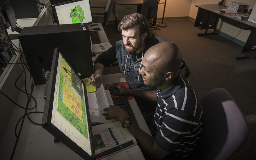
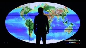
If your goal is to be a leader in the GIS field, our Master’s in Geographic Information Science (GIS) is designed for you. The GIS master’s program is a natural extension of our internationally recognized work on the frontier of geospatial technology, and we are pioneering the interpretation of remote sensing, mapping, and analytics, continually revealing new information about our world.

The M.S. in Geographic Information Science (GIS) is a collaboration among three areas of the university: the Graduate School of Geography, the Department of Sustainability and Social Justice (formerly IDCE), and Clark Labs, a leading developer of software-based geospatial solutions, founded and housed here at Clark University. The TerrSet/IDRISI platform developed at Clark Labs has quickly become one of the most widely used GIS systems in the world and is shaping approaches to geospatial problem-solving.

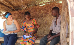
Our students work closely with faculty experts to research, assess, and apply inventive geospatial approaches to some of the most pressing societal challenges. We work at the leading edge of areas such as conservation GIS, land-use change, public health, environmental justice, food security and humanitarian assistance, and earth systems information science. Our four concentration tracks provide an opportunity to study these topics at even greater depth, positioning you for immediate impact upon graduation.

STEM-Designated Program

International students who graduate with a STEM degree may be eligible to work in the U.S. for up to 36 months on Optional Practical Training (OPT).

Why a Master’s in Geographic Information Science (GIS) at Clark University

  • Learn GIS programming skills for web mapping, automation, and advanced analytics from international leaders in the field.
  • Gain a competitive professional edge in a department that has been ranked #15 in the world for development studies (based on academic reputation) by QS World University Rankings.
  • Work closely with renowned faculty to advance the development of the software.
  • Access the latest technologies, including your own dedicated workstation in a Clark lab fully equipped with a range of GIS and remote sensing software.
Play Video

Clark’s GIS Program Prepared Sean McCartney ’15 for a Career at NASA

Sean McCartney ’15 is excited to go to work every single day. At NASA’s Goddard Space Flight Center, he works among the largest collection of engineers and earth scientists on the planet. Sean consistently applies the fundamentals he learned during his two years in the M.S. in GIS program.

What prepared me for NASA was definitely the two years I spent in the GIS program at Clark. The fundamentals that I learned in geospatial technology and vector raster, and how to apply them, formed a very strong foundation for what I’m doing at NASA.

The Essentials

Program Overview

Clark’s master’s degree in GIS combines rigorous academics with widely varied, highly applied learning opportunities. Our two-year program offers ample opportunities to take what you learn in the classroom and put it to work in the wider world through creative engagements with communities, nonprofits, government, and the private sector. By working hands-on with partners, you gain valuable experience applying theories and implementing your creative solutions to complex problems.

In addition, we offer four concentrations within the GIS degree that enable you to focus your studies: GIS for Development and Environment, Conservation Applications, Global and Community Health Applications, and Remote Sensing. Each requires the completion of a set of concentration-specific courses, and each provides a valuable set of skills — and credentials — that will serve you well throughout your career.

  • Mastering the core concepts in GIS and remote sensing
  • Developing high-tech expertise that leads directly to a career
  • Applying GIS tools to real-life problems
  • Coding and developing software applications for GIS
  • Integrating and synthesizing diverse information sources
  • Landscape Ecology
  • Advanced Vector GIS
  • GIS and Map Comparison
  • Advanced Remote Sensing
  • Python Programming

Requirements

The M.S./GIS program requires the completion of 12 course units, including a series of required courses, prerequisites and electives that vary according to the concentration.

Concentrations include:

  • Geographic Information Science for Development and Environment
  • Conservation Applications
  • Remote Sensing
  • Global and Community Health Applications

Course Catalog