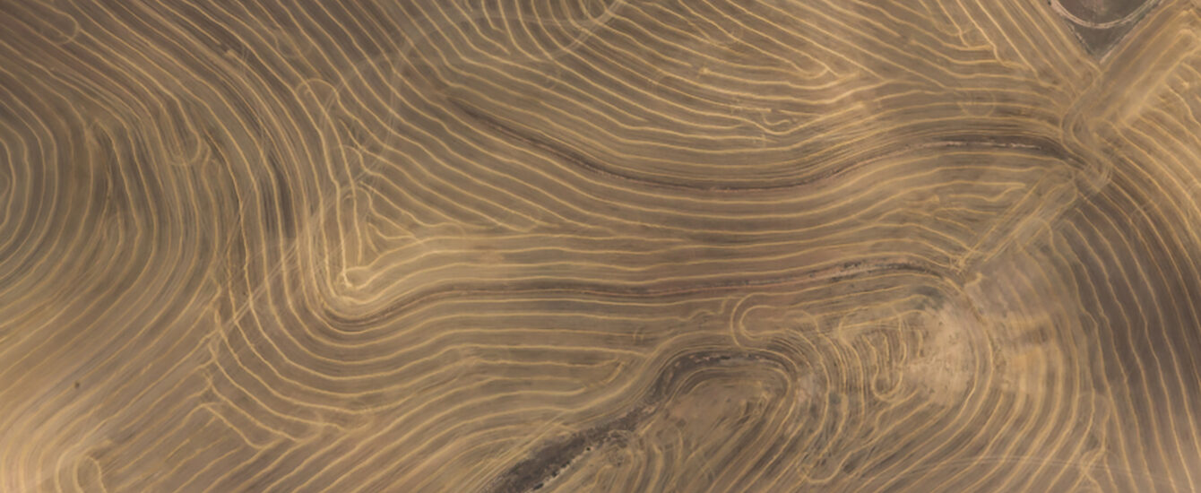
 Smallholders in Africa often lack access to the information that can help boost their productivity and resilience to major sources of volatility including climate shocks. One key reason for this inadequacy of agricultural extension services is the absence of data that accurately map where croplands are and what they grow. Making such maps is challenging because it requires the ability to use satellite imagery to accurately map the boundaries of smallholders’ fields, and the ability to collect precisely geo-referenced ground-truth observations. Marsh Institute researcher Lyndon Estes (Geography) recently received funding from Farmerline to support smallholders in Africa who lack access to the information that can help boost their productivity and resilience to major sources of volatility. The project Enabling Crop Analytics at Scale: AGData Acceleration Facility will provide the cropland and crop type mapping capabilities that will allow provisioning of new agricultural extension services to farmers in Ghana and Tanzania.
For full project descriptions, see the Marsh Institute Research Projects web page.