the medium and the message
We tell the Clark story
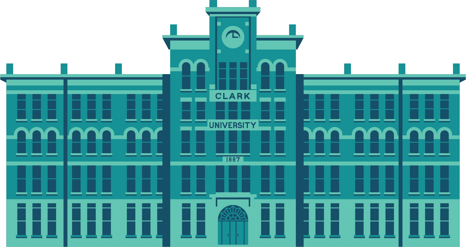
Marketing and Communications is responsible for elevating Clark’s standing and reputation as a global university of consequence.
How can we help you?
Our team of creative professionals tells Clark’s story through the web, print materials, social media, and news articles in the press. Writers and editors, graphic designers, marketing experts, and photographers communicate key messages to all constituencies in a professional manner.