Be part of a just and sustainable future
Through our work, we strive for a more just and sustainable world. We understand the complexity of urgent social, political, and ecological challenges and develop leaders who are prepared to find solutions through collaborative scholarship and innovation.
Why study at Clark?
Whether you’re interested in sustainable food systems, addressing health disparities, tackling climate-change impacts and inequities, or formulating human-centered policies to tackle global migration, you’ll learn how to draw from and integrate multiple forms of knowledge to inform meaningful action.
Degrees that make a difference
Our degree programs are distinctive and designed to make a difference through integrative, collaborative, and experiential learning. Our students learn by working alongside practitioners and communities that are most impacted by social and ecological inequities.
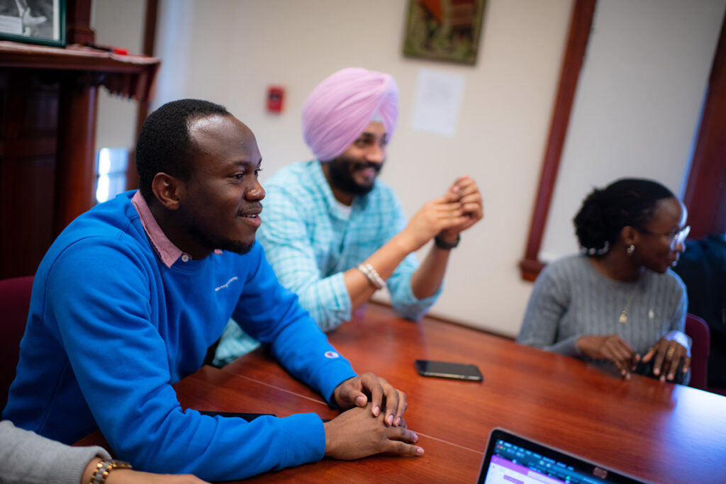
Experiential learning
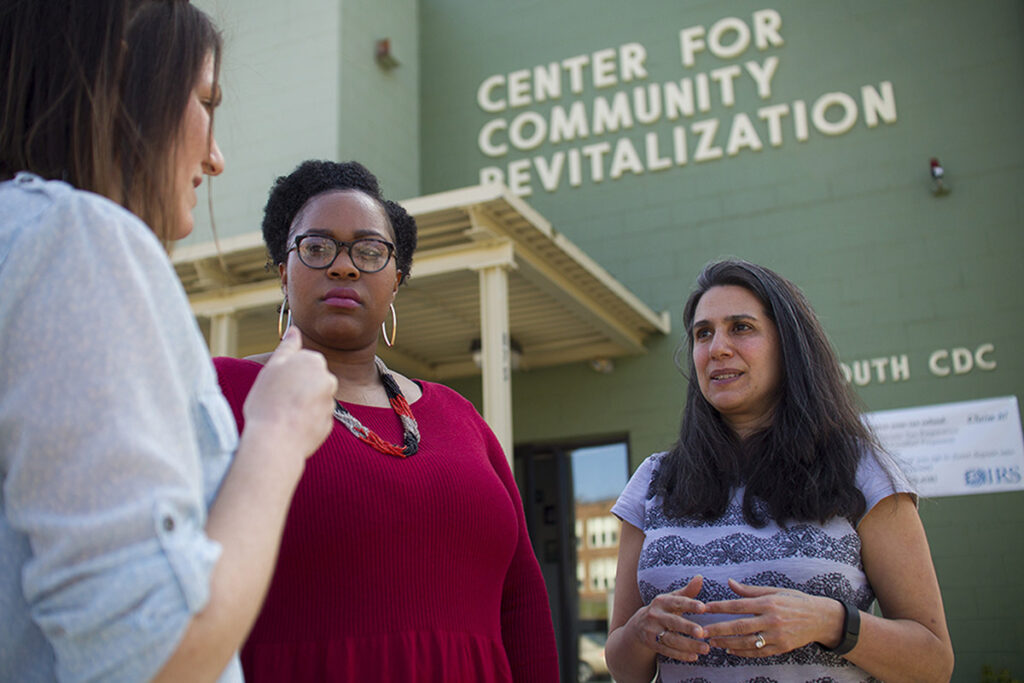
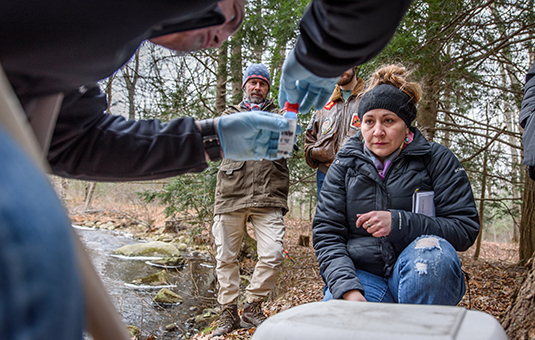
Work collaboratively with communities, both in the city of Worcester and around the world, to help find solutions to real-world challenges. Our faculty build local partnerships, guide internship programs, and lead global learning collaboratives that help you gain valuable real-world experience in your chosen field.
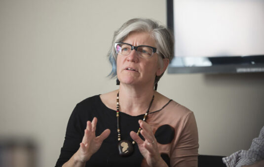
Faculty
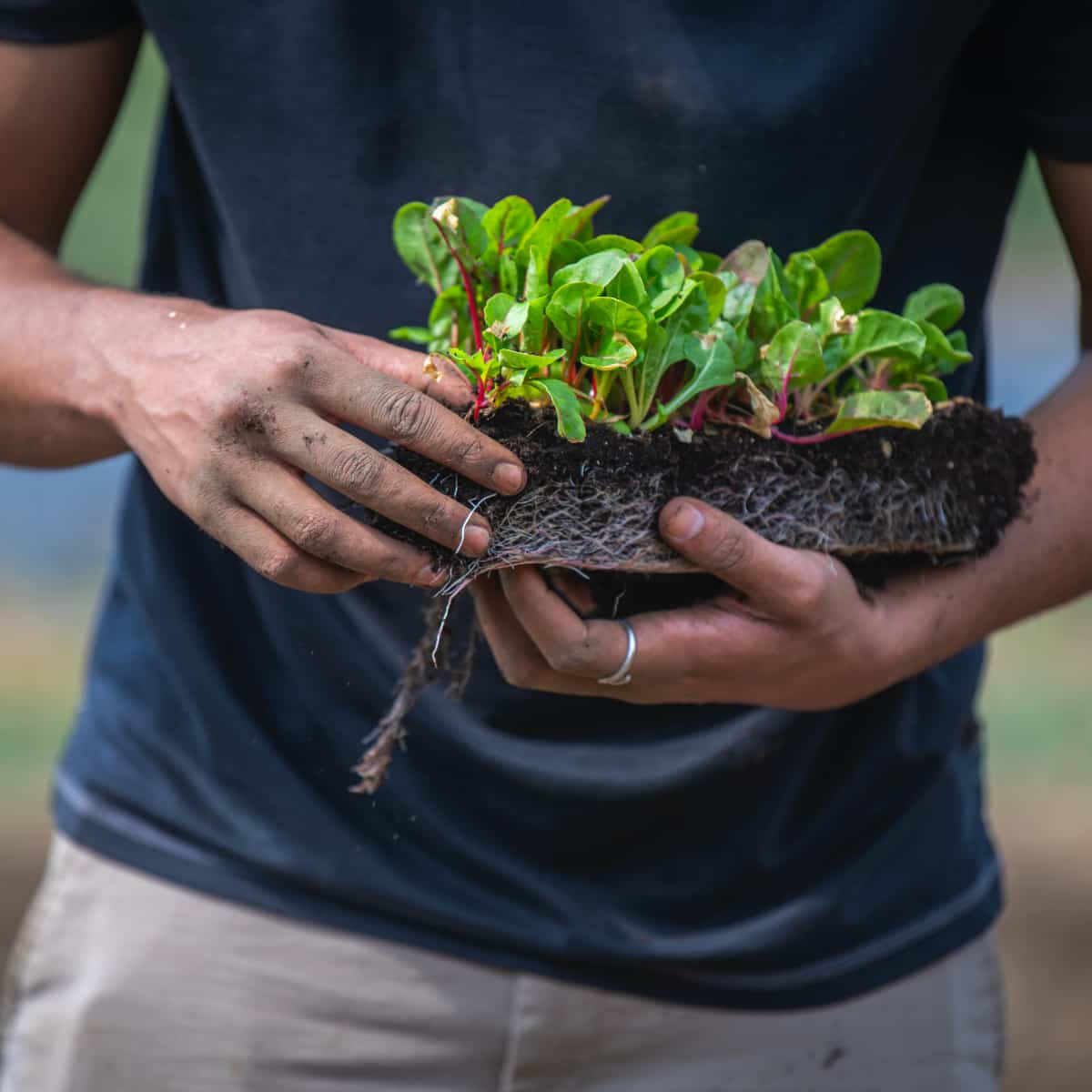
The Department of Sustainability and Social Justice has been a pioneer in areas of international development, participatory rural appraisal, gender and development, environmental science and policy — and their integration — for decades. We are advancing scholarship and practice that expands educational access and equity in the Caribbean, drives efforts to increase affordable housing in the United States, models climate change in Mexico, and increases food security by enhancing our understanding of traditional farming practices in Ethiopia.
Learning outcomes
Our undergraduate and graduate programs are grounded in interdisciplinary frameworks and professional practice. Prepare for your chosen career by gaining a foundation in social and environmental science and professional skills such as project management, monitoring and evaluation, policy analysis, organizational leadership, and spatial analysis. You’ll design and assess projects through an intersectional lens as you engage communities in an ethical and authentic way.